Seaport · United Kingdom
Shoreham HarbourGBSHO
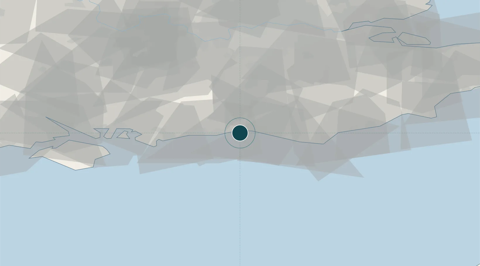
50.8167°, -0.2500°
1.8 m
Channel depth
6.4
Port liner connectivity
Channel & Berth Profile
Pilotage, Tugs & Services
Pilotage compulsoryYES
Pilotage availableYES
Pilotage advisableYES
Tug assistanceYES
Salvage tugsNO
Potable waterYES
Diesel bunkersYES
MedicalYES
Garbage disposalYES
Facilities & Capabilities
Container—
Ro-Ro—
Liquid bulk—
Dry bulk—
Oil terminal—
Break bulk—
Dry dockNO
RepairsNO
BunkeringYES
Rail linkYES
Dangerous cargo—
ISPS security—
Harbour Specifications
Harbour size
Very Small
Harbour type
Canal or Lake
Shelter
Good
Water body
English Channel; North Atlantic Ocean
Tidal range
5 m
Overhead limit
Yes
Pilotage
Yes
Liner Connectivity
6.4
PLSCI
Port Liner Shipping Connectivity Index for Shoreham Harbour, as published by UNCTAD for the latest available quarter. Higher values indicate stronger scheduled liner-shipping integration.
Shown relative to the highest per-port PLSCI in the dataset (1,657.9).
Location
Nearby Logistics Neighbours
Ports
- 1Littlehampton Harbour20 km
- 2Newhaven Harbour21 km
- 3Portsmouth Harbour60 km
- 4Rye Harbour73 km
- 5Cowes Harbour74 km
Cities
- 1Shoreham-by-Sea2 km
- 2Southwick2 km
- 3Sompting7 km
- 4Worthing9 km
- 5Ferring14 km
Airports
- 1Brighton City Airport4 km
- 2London Gatwick Airport37 km
- 3London Biggin Hill Airport61 km
- 4Farnborough Airport63 km
- 5RAF Odiham67 km
Trade Zones
DatabookThe Record of Consolidated Knowledge
United Kingdom beyond logistics?