Large airport · United Kingdom
London Gatwick AirportEGKK
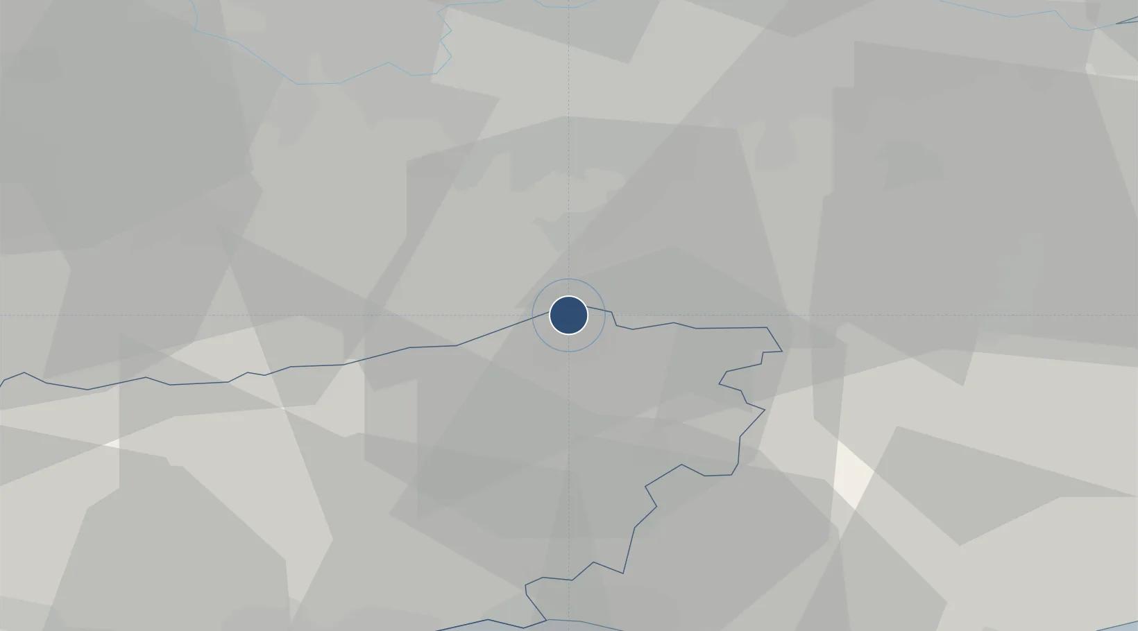
51.1487°, -0.1857°
10,883 ft
Longest runway
2
Runways
202 ft
Elevation
Runway & Layout

Radio Frequencies
ATIS
136.525 MHz
TWR
124.23 MHz
GND
121.805 MHz
CLD
121.955 MHz
CLNC DEL
APP
126.825 MHz
Dir
118.95 MHz
Director
Navaids
GE NDB Gatwick 338 kHz
GY NDB Gatwick 365 kHz
Runways · 2
| Runway | Dimensions | Surface | True heading | Lit |
|---|---|---|---|---|
| 08R/26L | 10,883 × 148ft | Asphalt | 078° | ✓ |
| 08L/26R | 8,402 × 148ft | Asphalt | 078° | ✓ |
Airport Specifications
IATA code
LGW
ICAO code
EGKK
Airport class
Large airport
Scheduled service
Yes
Runway surface
Asphalt
Served city
London
Location
Nearby Logistics Neighbours
Airports
- 1London Biggin Hill Airport25 km
- 2Brighton City Airport36 km
- 3London Heathrow Airport41 km
- 4London City Airport43 km
- 5Farnborough Airport44 km
Cities
- 1Salfords8 km
- 2Capel9 km
- 3New Chapel10 km
- 4Felbridge11 km
- 5Westcott14 km
Ports
- 1Shoreham Harbour37 km
- 2London40 km
- 3Newhaven Harbour44 km
- 4Littlehampton Harbour47 km
- 5Tilbury51 km
Trade Zones
DatabookThe Record of Consolidated Knowledge
United Kingdom beyond logistics?