Transport Functions
Multimodal
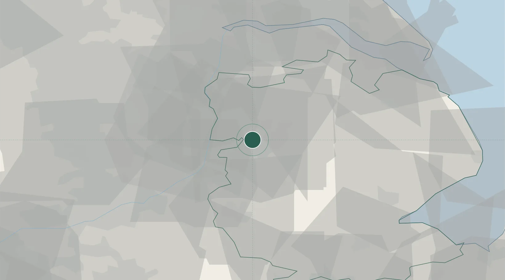
Hub Profile
Place type
Urban district
Region
England
Time zone
Europe/London
Elevation
18 m
Location
Nearby Logistics Neighbours
Cities
- 1Metheringham4 km
- 2Mangotsfield4 km
- 3Sturton by Stow8 km
- 4North Scarle10 km
- 5Bassingham13 km
Ports
- 1Boston49 km
- 2Immingham52 km
- 3Grimsby53 km
- 4Goole54 km
- 5New Holland54 km
Airports
- 1RAF Waddington9 km
- 2RAF Cranwell24 km
- 3RAF Barkston Heath30 km
- 4RAF Coningsby33 km
- 5Humberside Airport42 km
Trade Zones
DatabookThe Record of Consolidated Knowledge
United Kingdom beyond logistics?