Transport Functions
Road
Multimodal
Hub Profile
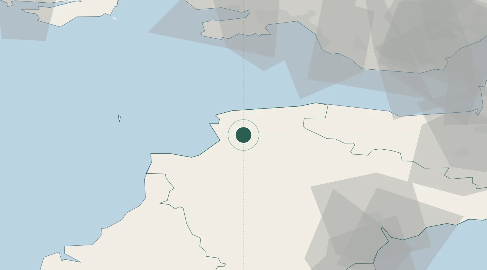
Place type
Populated place
Region
England
Time zone
Europe/London
Elevation
14 m
Location
Nearby Logistics Neighbours
Cities
- 1Barnstaple3 km
- 2Tawstock7 km
- 3Instow7 km
- 4Appledore9 km
- 5Moretonhampstead12 km
Ports
- 1Bideford10 km
- 2Watchet Harbor54 km
- 3Port Talbot57 km
- 4Swansea58 km
- 5Neath62 km
Airports
- 1Royal Marines Base Chivenor4 km
- 2Hartland Point Heliport31 km
- 3Lundy Island Helipad40 km
- 4Swansea Airport56 km
- 5MOD St Athan58 km
DatabookThe Record of Consolidated Knowledge
United Kingdom beyond logistics?