Transport Functions
Rail
Road
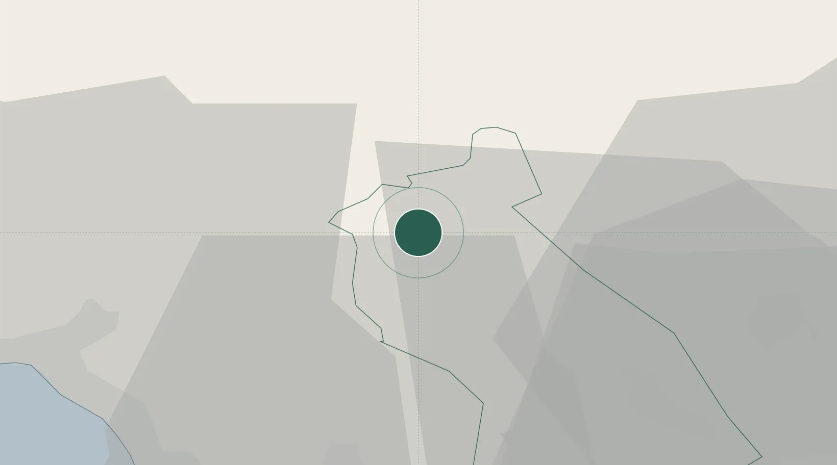
Hub Profile
Place type
District seat
Region
Wales
Population
7,247
Time zone
Europe/London
Elevation
189 m
Location
Nearby Logistics Neighbours
Cities
- 1Penderyn4 km
- 2Mountain Ash (Aberpennar)11 km
- 3Ferndale11 km
- 4Tonypandy13 km
- 5Abercraf15 km
Ports
- 1Neath25 km
- 2Port Talbot27 km
- 3Swansea33 km
- 4Cardiff40 km
- 5Barry41 km
Airports
- 1MOD St Athan37 km
- 2Cardiff International Airport39 km
- 3Swansea Airport41 km
- 4Bristol Airport68 km
- 5Royal Marines Base Chivenor84 km
Trade Zones
DatabookThe Record of Consolidated Knowledge
United Kingdom beyond logistics?