Transport Functions
Road
Multimodal
Hub Profile
Place type
Populated place
Region
Wales
Time zone
Europe/London
Elevation
234 m
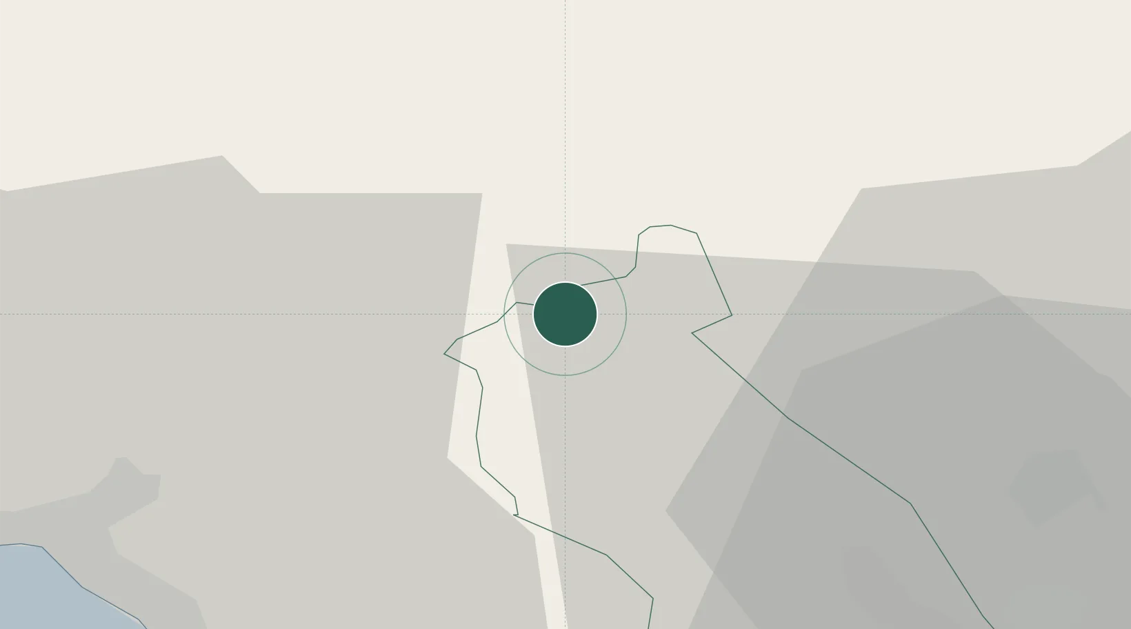
Location
Nearby Logistics Neighbours
Cities
- 1Hirwaun4 km
- 2Mountain Ash (Aberpennar)13 km
- 3Abercraf13 km
- 4Ferndale14 km
- 5Tonypandy17 km
Ports
- 1Neath26 km
- 2Port Talbot29 km
- 3Swansea34 km
- 4Cardiff43 km
- 5Bird Port44 km
Airports
- 1MOD St Athan41 km
- 2Swansea Airport42 km
- 3Cardiff International Airport43 km
- 4Bristol Airport70 km
- 5Royal Marines Base Chivenor87 km
Trade Zones
DatabookThe Record of Consolidated Knowledge
United Kingdom beyond logistics?