Transport Functions
Road
Multimodal
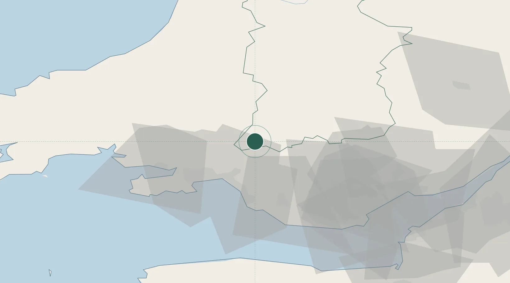
Hub Profile
Place type
Populated place
Region
Wales
Time zone
Europe/London
Elevation
131 m
Location
Nearby Logistics Neighbours
Cities
- 1Ystradgynlais6 km
- 2Penderyn13 km
- 3Hirwaun15 km
- 4Neath18 km
- 5Briton Ferry20 km
Ports
- 1Neath21 km
- 2Port Talbot25 km
- 3Swansea27 km
- 4Cardiff54 km
- 5Barry54 km
Airports
- 1Swansea Airport34 km
- 2MOD St Athan48 km
- 3Cardiff International Airport51 km
- 4Bristol Airport82 km
- 5Royal Marines Base Chivenor85 km
Trade Zones
DatabookThe Record of Consolidated Knowledge
United Kingdom beyond logistics?