UN/LOCODE hub · United Kingdom
GBMTA

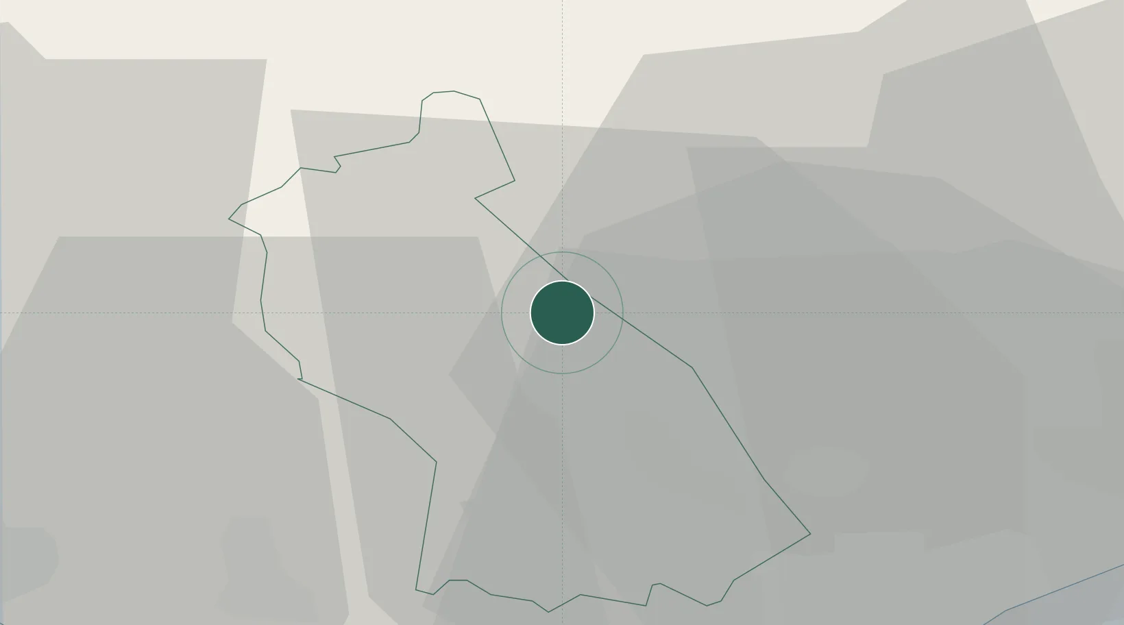
Mountain Ash (Aberpennar)

51.6833°, -3.3833°
2
Transport functions

Transport Functions

Rail
Road
UN/LOCODE

Hub Profile

Region
RCT
GeoNames

Location

Location of GBMTA
Natural Earth 10m (public domain) · RCT · GBMTA · 51.68, -3.38GoogleOSMYandex

Nearby Logistics Neighbours

Cities
  1. 1Ferndale5 km
  2. 2Porth8 km
  3. 3Tonypandy9 km
  4. 4Pontypridd10 km
  5. 5Hirwaun11 km
Nearest neighbours — logibook spatial index (haversine) over the source coordinates
Ports
  1. 1Cardiff30 km
  2. 2Newport31 km
  3. 3Neath32 km
  4. 4Bird Port32 km
  5. 5Port Talbot32 km
Nearest neighbours — logibook spatial index (haversine) over the source coordinates
Airports
  1. 1MOD St Athan31 km
  2. 2Cardiff International Airport32 km
  3. 3Swansea Airport48 km
  4. 4Bristol Airport57 km
  5. 5Royal Marines Base Chivenor85 km
Nearest neighbours — logibook spatial index (haversine) over the source coordinates
Trade Zones
  1. 1Ceramics Valley54 km
  2. 2Bristol Temple Quarter Enterprise Zone62 km
  3. 3Hereford Enterprise Zone62 km
  4. 4Exeter & East Devon Enterprise Zone106 km
  5. 5Black Country Enterprise Zone133 km
Nearest neighbours — logibook spatial index (haversine) over the source coordinates
DatabookThe Record of Consolidated Knowledge
United Kingdom beyond logistics?
Browse databook

All Sources

LocationsUN/LOCODE
UN/LOCODE — free
Portsthe NGA World Port Index
Public domain (US gov)
AirportsOurAirports
Public domain
Trade Zonesthe World Bank SEZ database
CC BY 4.0
Trade ZonesOpen Zone Map
CC BY
← United Kingdom locations