UN/LOCODE hub · United Kingdom
GBFRD
Ferndale
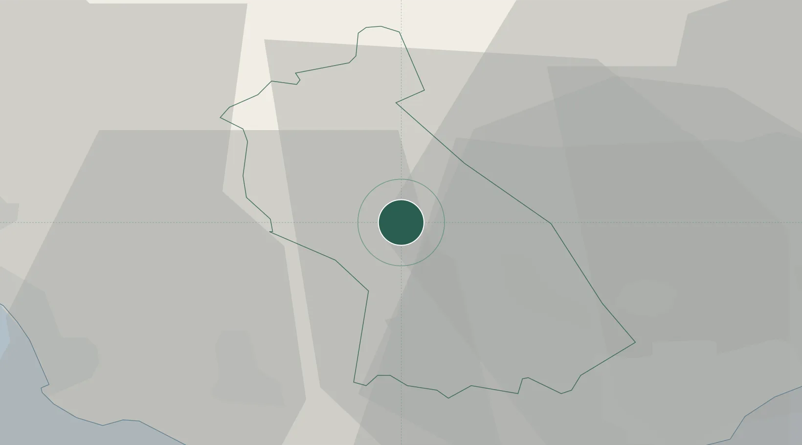
51.6500°, -3.4333°
7,338
Population
1
Transport functions
Transport Functions
Port
Hub Profile
Place type
District seat
Region
Wales
Population
7,338
Time zone
Europe/London
Elevation
236 m
Location
Nearby Logistics Neighbours
Cities
- 1Porth4 km
- 2Tonypandy4 km
- 3Mountain Ash (Aberpennar)5 km
- 4Tonyrefail8 km
- 5Pontypridd9 km
Ports
- 1Port Talbot28 km
- 2Neath28 km
- 3Cardiff29 km
- 4Barry30 km
- 5Newport33 km
Airports
- 1MOD St Athan27 km
- 2Cardiff International Airport29 km
- 3Swansea Airport44 km
- 4Bristol Airport58 km
- 5Royal Marines Base Chivenor80 km
Trade Zones
DatabookThe Record of Consolidated Knowledge
United Kingdom beyond logistics?