UN/LOCODE hub · United Kingdom
GBKBK
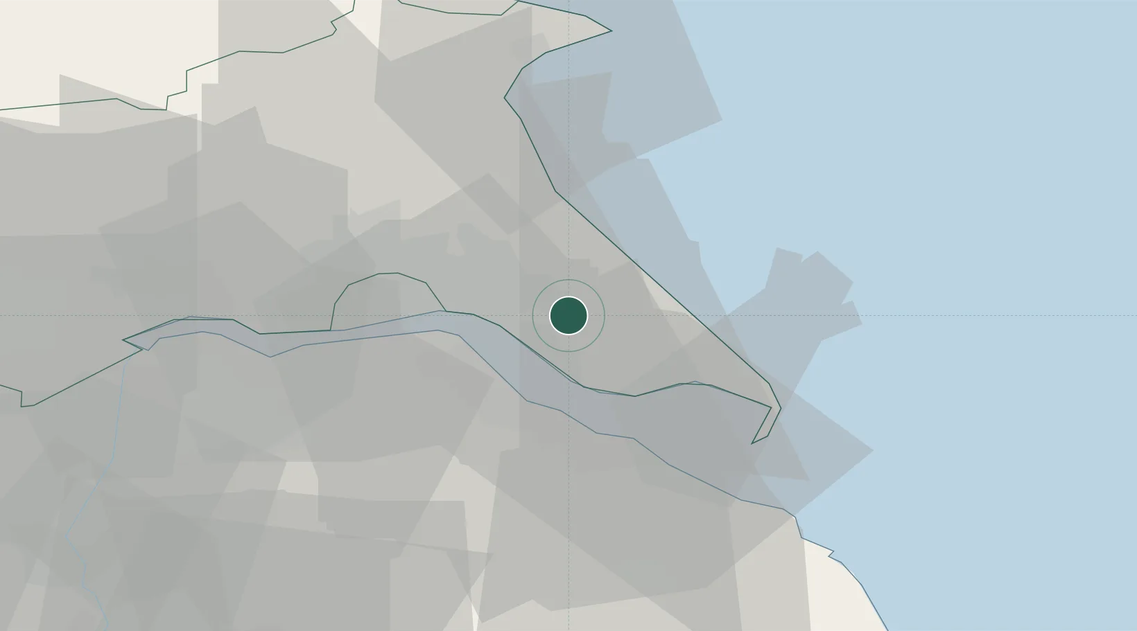
Burstwick
53.7333°, -0.1333°
1,924
Population
2
Transport functions
Transport Functions
Port
Road
Hub Profile
Place type
District seat
Region
England
Population
1,924
Time zone
Europe/London
Elevation
7 m
Location
Nearby Logistics Neighbours
Ports
- 1Kingston Upon Hull10 km
- 2Immingham12 km
- 3New Holland16 km
- 4Grimsby17 km
- 5Bridlington39 km
Airports
- 1Humberside Airport23 km
- 2RAF Waddington68 km
- 3Leeds East Airport71 km
- 4RAF Coningsby71 km
- 5RAF Cranwell82 km
Trade Zones
DatabookThe Record of Consolidated Knowledge
United Kingdom beyond logistics?