Transport Functions
Rail
Road
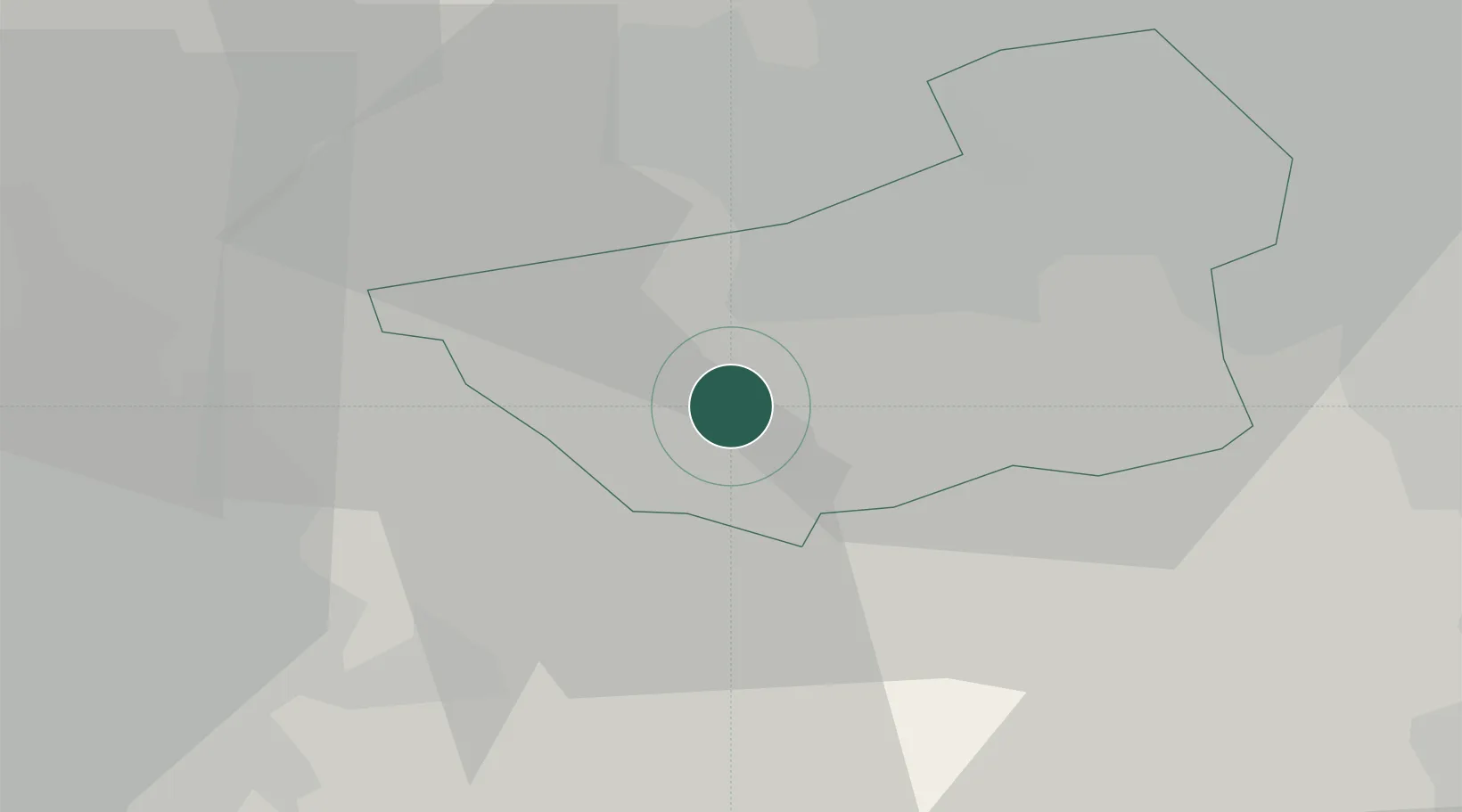
Hub Profile
Place type
District seat
Region
England
Population
7,836
Time zone
Europe/London
Elevation
177 m
Location
Nearby Logistics Neighbours
Cities
- 1Mackworth5 km
- 2Huddersfield9 km
- 3Mossley13 km
- 4Wincobank14 km
- 5Hadfield17 km
Ports
- 1Manchester30 km
- 2Howdendyke66 km
- 3Goole68 km
- 4Garlston74 km
- 5Liverpool78 km
Airports
- 1Leeds Bradford Airport34 km
- 2Manchester Airport39 km
- 3Leeds East Airport51 km
- 4Warton Aerodrome70 km
- 5Liverpool John Lennon Airport72 km
DatabookThe Record of Consolidated Knowledge
United Kingdom beyond logistics?