Transport Functions
Multimodal
Hub Profile
Place type
Populated place
Region
England
Time zone
Europe/London
Elevation
94 m
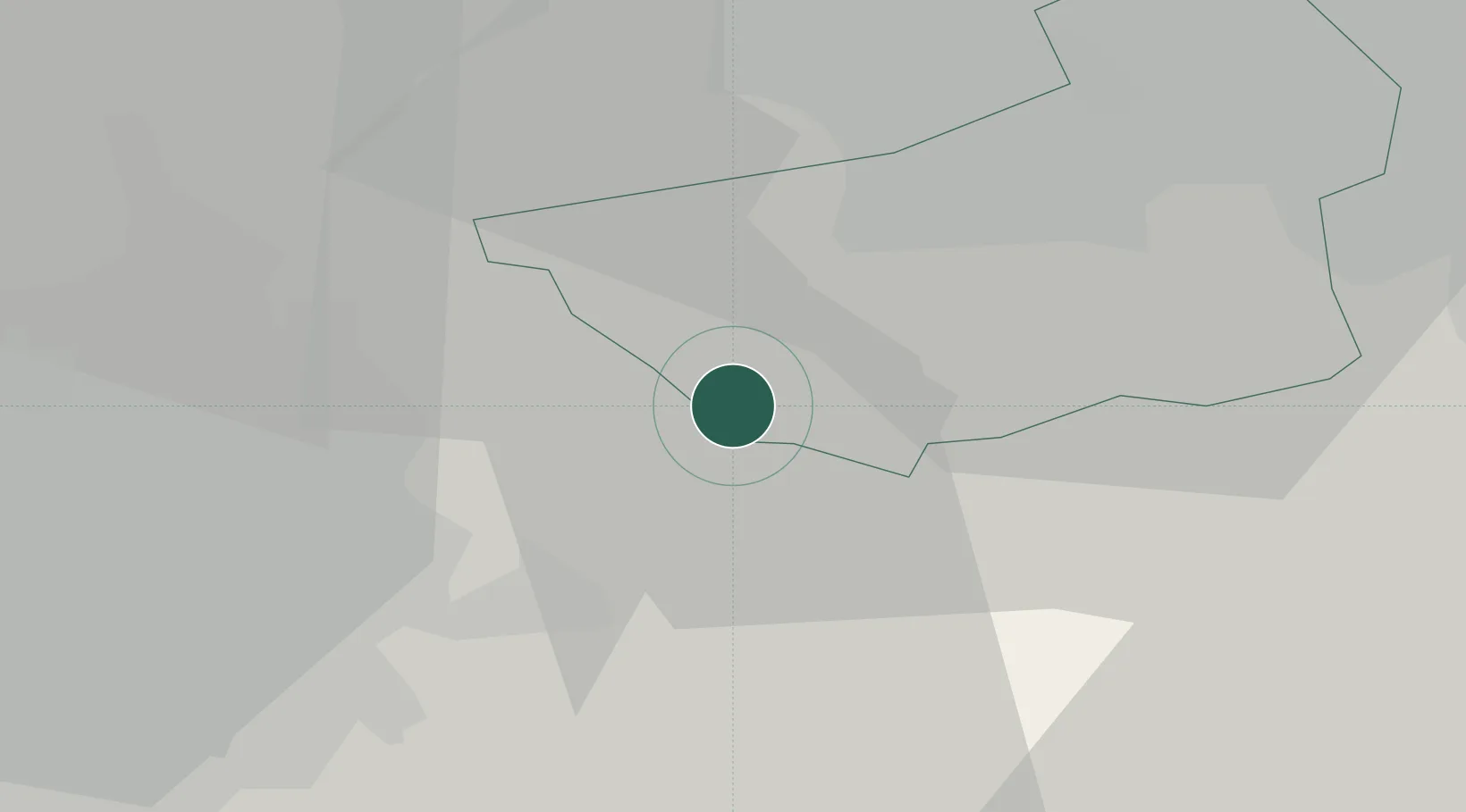
Location
Nearby Logistics Neighbours
Cities
- 1Meltham5 km
- 2Mossley9 km
- 3Hadfield12 km
- 4Huddersfield14 km
- 5Tameside14 km
Ports
- 1Manchester25 km
- 2Garlston70 km
- 3Howdendyke70 km
- 4Goole72 km
- 5Liverpool74 km
Airports
- 1Manchester Airport34 km
- 2Leeds Bradford Airport39 km
- 3Leeds East Airport56 km
- 4Liverpool John Lennon Airport67 km
- 5Warton Aerodrome68 km
DatabookThe Record of Consolidated Knowledge
United Kingdom beyond logistics?