UN/LOCODE hub · United Kingdom
GBOOS
Seaton Ross
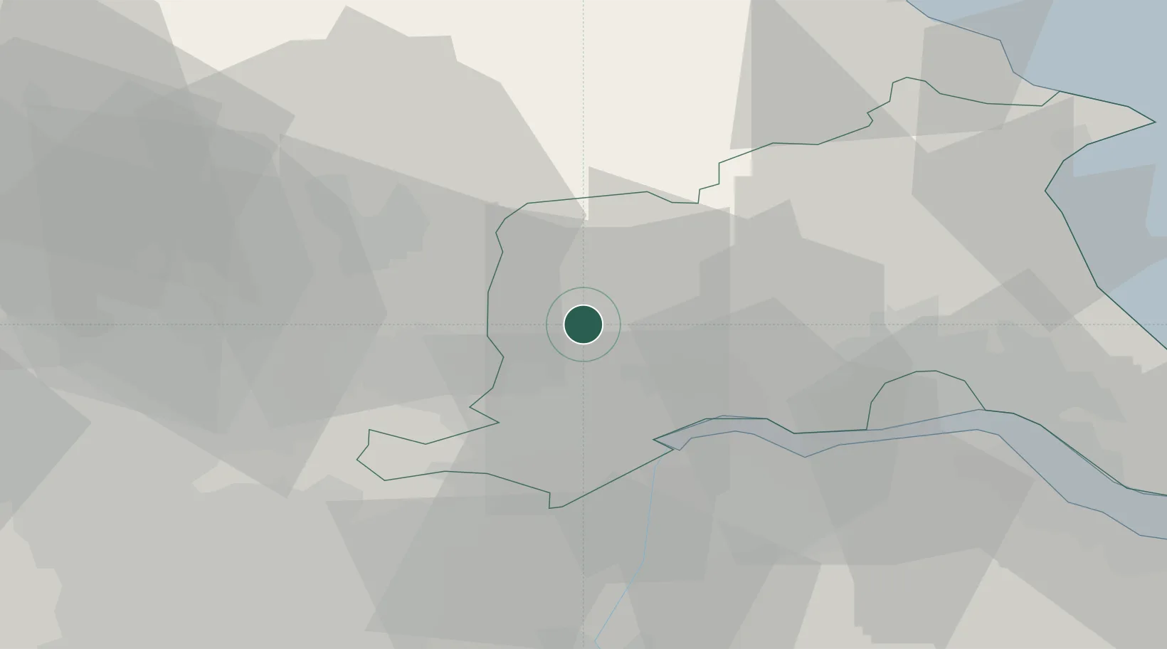
53.8500°, -0.8167°
565
Population
1
Transport functions
Transport Functions
Multimodal
Hub Profile
Place type
Populated place
Region
England
Population
565
Time zone
Europe/London
Elevation
8 m
Location
Nearby Logistics Neighbours
Cities
- 1Melbourne4 km
- 2Bubwith8 km
- 3Thorganby9 km
- 4Howdendyke13 km
- 5Riccall15 km
Ports
- 1Howdendyke14 km
- 2Goole17 km
- 3New Holland34 km
- 4Kingston Upon Hull37 km
- 5Immingham47 km
Airports
- 1Leeds East Airport25 km
- 2Humberside Airport43 km
- 3RAF Topcliffe54 km
- 4Leeds Bradford Airport55 km
- 5RAF Leeming69 km
Trade Zones
DatabookThe Record of Consolidated Knowledge
United Kingdom beyond logistics?