UN/LOCODE hub · United Kingdom
GBCUV

Cullivoe, Yell

60.7000°, -1.0167°
2
Transport functions

Transport Functions

Port
Road
UN/LOCODE

Hub Profile

Region
ZET
GeoNames

Location

Location of GBCUV
Natural Earth 10m (public domain) · ZET · GBCUV · 60.70, -1.02GoogleOSMYandex

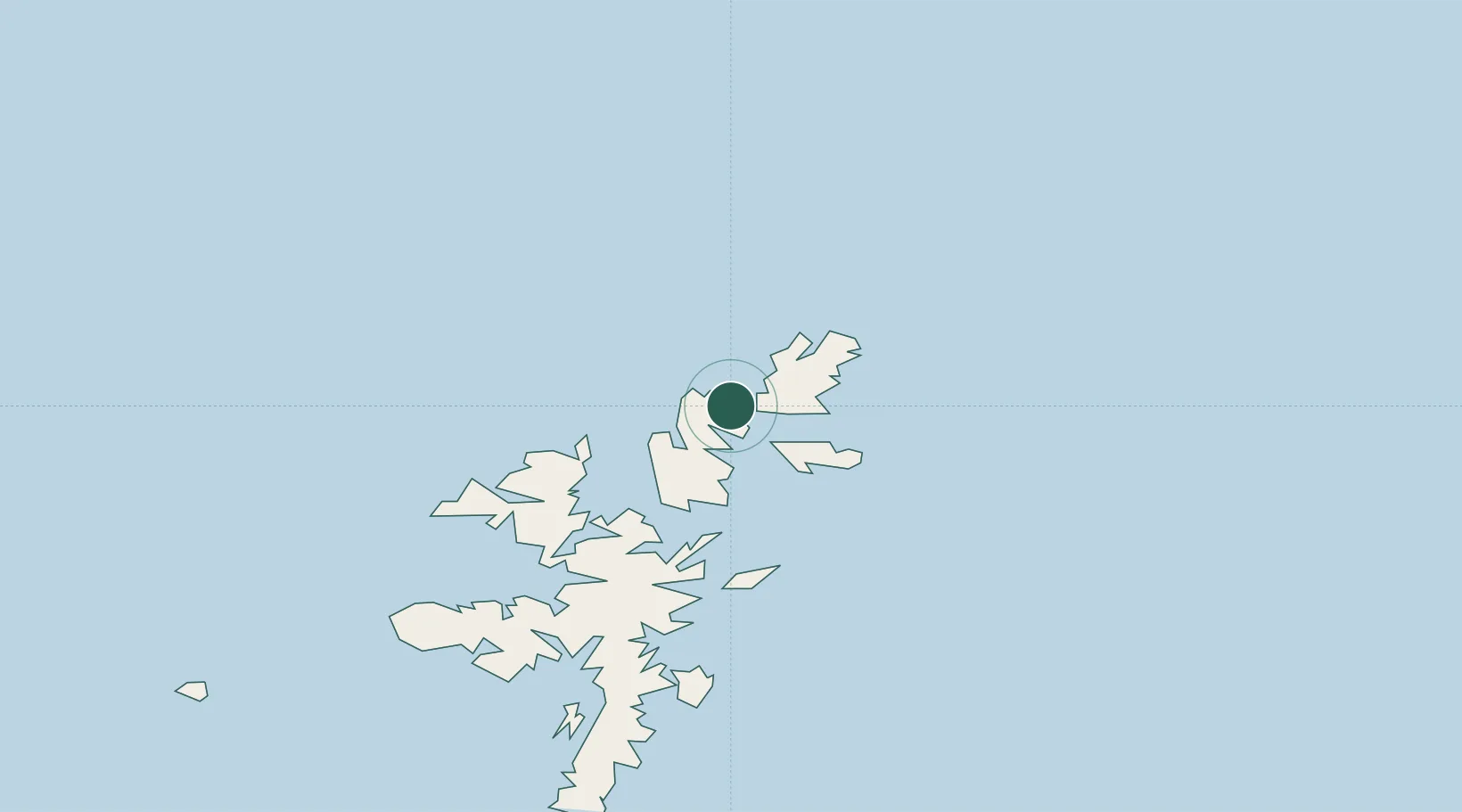
Nearby Logistics Neighbours

Cities
  1. 1Yell and Fetlar3 km
  2. 2Belmont, Unst3 km
  3. 3Gutcher, Yell4 km
  4. 4Uyeasound, Unst5 km
  5. 5Baltasound10 km
Nearest neighbours — logibook spatial index (haversine) over the source coordinates
Ports
  1. 1Sullom Voe30 km
  2. 2Lerwick60 km
  3. 3Scalloway65 km
  4. 4Kettletoft185 km
  5. 5Pierowall189 km
Nearest neighbours — logibook spatial index (haversine) over the source coordinates
Airports
  1. 1Lerwick / Tingwall Airport58 km
  2. 2Foula Airfield86 km
  3. 3Sumburgh Airport93 km
  4. 4Fair Isle Airport134 km
  5. 5North Ronaldsay Airport168 km
Nearest neighbours — logibook spatial index (haversine) over the source coordinates
Trade Zones
  1. 1Prestwick Airport Free Zone614 km
  2. 2North Eastern Enterprise Zone639 km
  3. 3Carlisle Kingmoor Park Enterprise Zone651 km
  4. 4Tees Valley Enterprise Zone678 km
  5. 5York Central Enterprise Zone750 km
Nearest neighbours — logibook spatial index (haversine) over the source coordinates
DatabookThe Record of Consolidated Knowledge
United Kingdom beyond logistics?
Browse databook

All Sources

LocationsUN/LOCODE
UN/LOCODE — free
Portsthe NGA World Port Index
Public domain (US gov)
AirportsOurAirports
Public domain
Trade Zonesthe World Bank SEZ database
CC BY 4.0
Trade ZonesOpen Zone Map
CC BY
← United Kingdom locations