Transport Functions
Rail
Road
Hub Profile
Place type
Populated place
Region
England
Population
17,295
Time zone
Europe/London
Elevation
6 m
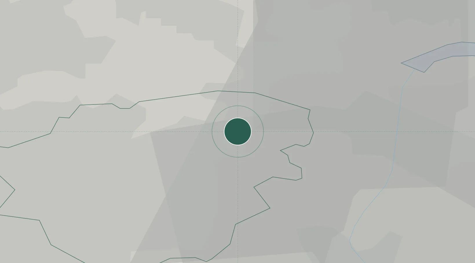
Location
Nearby Logistics Neighbours
Cities
- 1Rawcliffe Bridge8 km
- 2Goole8 km
- 3Pollington10 km
- 4Newcastle10 km
- 5Belton12 km
Ports
- 1Goole14 km
- 2Howdendyke16 km
- 3New Holland41 km
- 4Kingston Upon Hull48 km
- 5Immingham51 km
Airports
- 1Leeds East Airport30 km
- 2Humberside Airport41 km
- 3Leeds Bradford Airport54 km
- 4RAF Waddington57 km
- 5RAF Cranwell71 km
Trade Zones
DatabookThe Record of Consolidated Knowledge
United Kingdom beyond logistics?