UN/LOCODE hub · United Kingdom
GBDBE

Eggborough

53.7000°, -1.1500°
1
Transport functions

Transport Functions

Multimodal
UN/LOCODE

Hub Profile

Place type
Populated place
GeoNames
Region
England
GeoNames
Time zone
Europe/London
GeoNames
Elevation
14 m
GeoNames

Location

Location of GBDBE
Natural Earth 10m (public domain) · England · GBDBE · 53.70, -1.15GoogleOSMYandex

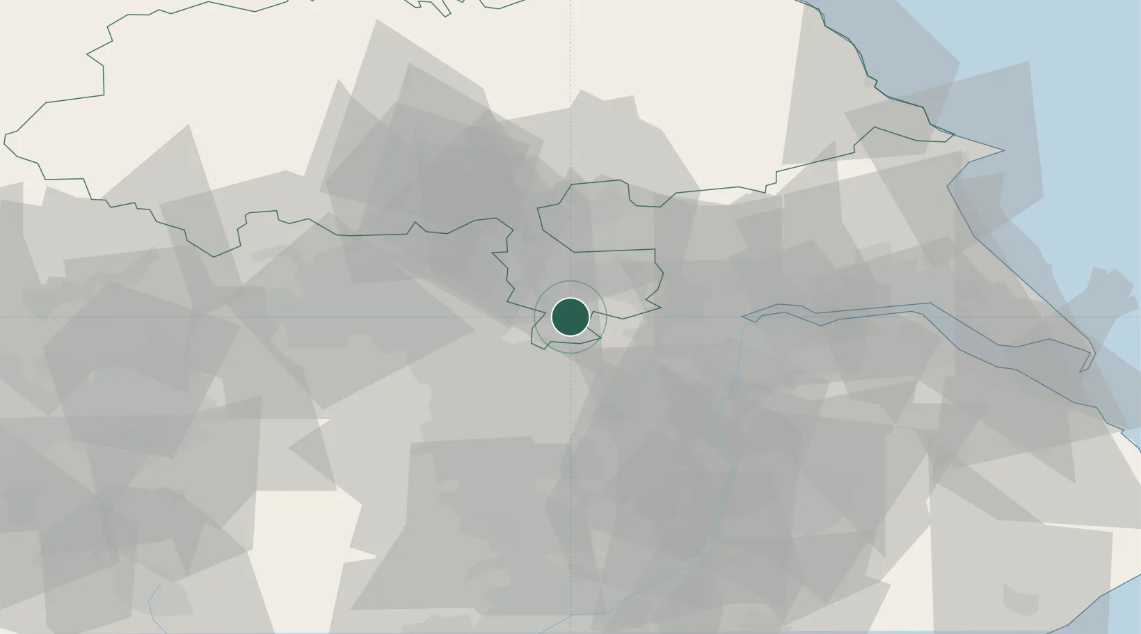
Nearby Logistics Neighbours

Cities
  1. 1Newcastle6 km
  2. 2Pollington7 km
  3. 3Hambleton8 km
  4. 4Ferrybridge8 km
  5. 5Goole9 km
Nearest neighbours — logibook spatial index (haversine) over the source coordinates
Ports
  1. 1Howdendyke18 km
  2. 2Goole21 km
  3. 3New Holland52 km
  4. 4Kingston Upon Hull57 km
  5. 5Immingham63 km
Nearest neighbours — logibook spatial index (haversine) over the source coordinates
Airports
  1. 1Leeds East Airport15 km
  2. 2Leeds Bradford Airport38 km
  3. 3Humberside Airport55 km
  4. 4RAF Topcliffe58 km
  5. 5RAF Leeming71 km
Nearest neighbours — logibook spatial index (haversine) over the source coordinates
Trade Zones
  1. 1Aire Valley Leeds Enterprise Zone24 km
  2. 2York Central Enterprise Zone29 km
  3. 3Sheffield City Region Enterprise Zone41 km
  4. 4Humber Enterprise Zone54 km
  5. 5Humberside Free Zone55 km
Nearest neighbours — logibook spatial index (haversine) over the source coordinates
DatabookThe Record of Consolidated Knowledge
United Kingdom beyond logistics?
Browse databook

All Sources

LocationsUN/LOCODE
UN/LOCODE — free
Portsthe NGA World Port Index
Public domain (US gov)
AirportsOurAirports
Public domain
Trade Zonesthe World Bank SEZ database
CC BY 4.0
Trade ZonesOpen Zone Map
CC BY
← United Kingdom locations