UN/LOCODE hub · United Kingdom
GBNGT
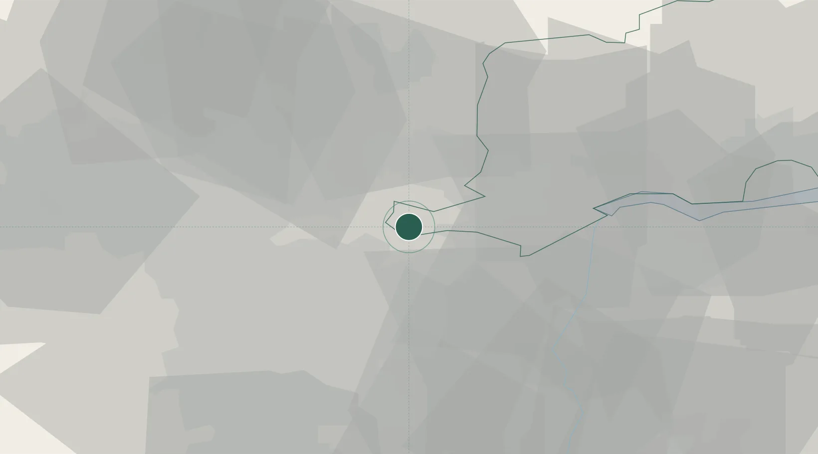
Pollington
53.6667°, -1.0667°
834
Population
1
Transport functions
Transport Functions
Multimodal
Hub Profile
Place type
District seat
Region
England
Population
834
Time zone
Europe/London
Elevation
8 m
Location
Nearby Logistics Neighbours
Cities
- 1Newcastle1 km
- 2Goole4 km
- 3Eggborough7 km
- 4Rawcliffe Bridge9 km
- 5Drax9 km
Ports
- 1Howdendyke14 km
- 2Goole16 km
- 3New Holland46 km
- 4Kingston Upon Hull52 km
- 5Immingham57 km
Airports
- 1Leeds East Airport21 km
- 2Leeds Bradford Airport45 km
- 3Humberside Airport48 km
- 4RAF Topcliffe63 km
- 5RAF Waddington66 km
Trade Zones
DatabookThe Record of Consolidated Knowledge
United Kingdom beyond logistics?