Transport Functions
Rail
Road
Multimodal
Hub Profile
Place type
Populated place
Region
England
Time zone
Europe/London
Elevation
165 m
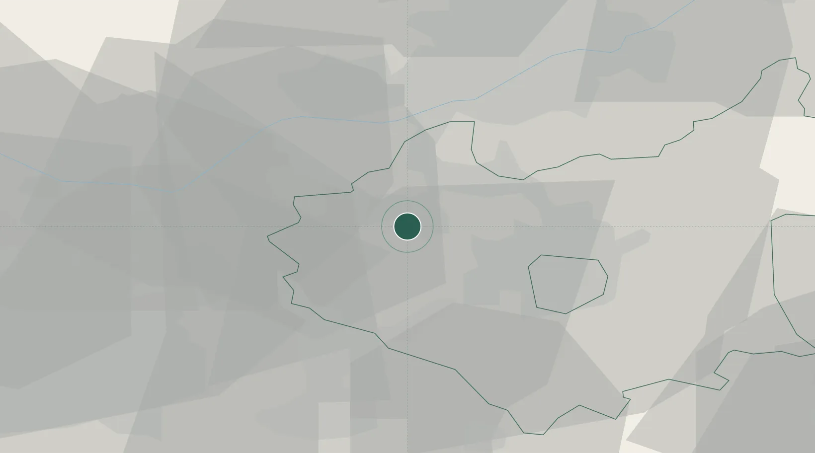
Location
Nearby Logistics Neighbours
Cities
- 1Bardon Hill2 km
- 2Normanton le Heath5 km
- 3Bagworth6 km
- 4Markfield7 km
- 5The Forties11 km
Ports
- 1Boston95 km
- 2Wisbech102 km
- 3Manchester106 km
- 4Goole117 km
- 5King's Lynn119 km
Airports
- 1East Midlands Airport15 km
- 2Nottingham City Airport31 km
- 3Coventry Airport38 km
- 4Birmingham Airport38 km
- 5RAF Wittering61 km
Trade Zones
DatabookThe Record of Consolidated Knowledge
United Kingdom beyond logistics?