Transport Functions
Road
Multimodal
Hub Profile
Place type
District seat
Region
England
Population
793
Time zone
Europe/London
Elevation
10 m
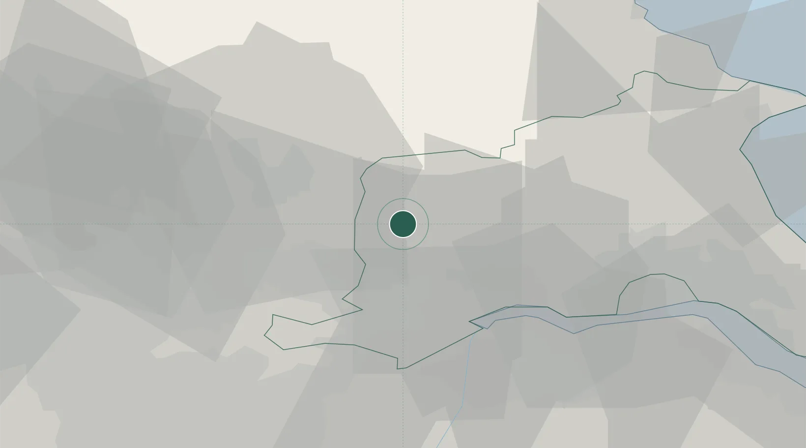
Location
Nearby Logistics Neighbours
Cities
- 1Seaton Ross4 km
- 2Thorganby8 km
- 3Bubwith9 km
- 4Riccall14 km
- 5Howdendyke17 km
Ports
- 1Howdendyke17 km
- 2Goole20 km
- 3New Holland38 km
- 4Kingston Upon Hull40 km
- 5Bridlington49 km
Airports
- 1Leeds East Airport23 km
- 2Humberside Airport47 km
- 3RAF Topcliffe50 km
- 4Leeds Bradford Airport53 km
- 5RAF Leeming64 km
Trade Zones
DatabookThe Record of Consolidated Knowledge
United Kingdom beyond logistics?