Transport Functions
Port
Hub Profile
Place type
Populated place
Region
Scotland
Time zone
Europe/London
Elevation
16 m
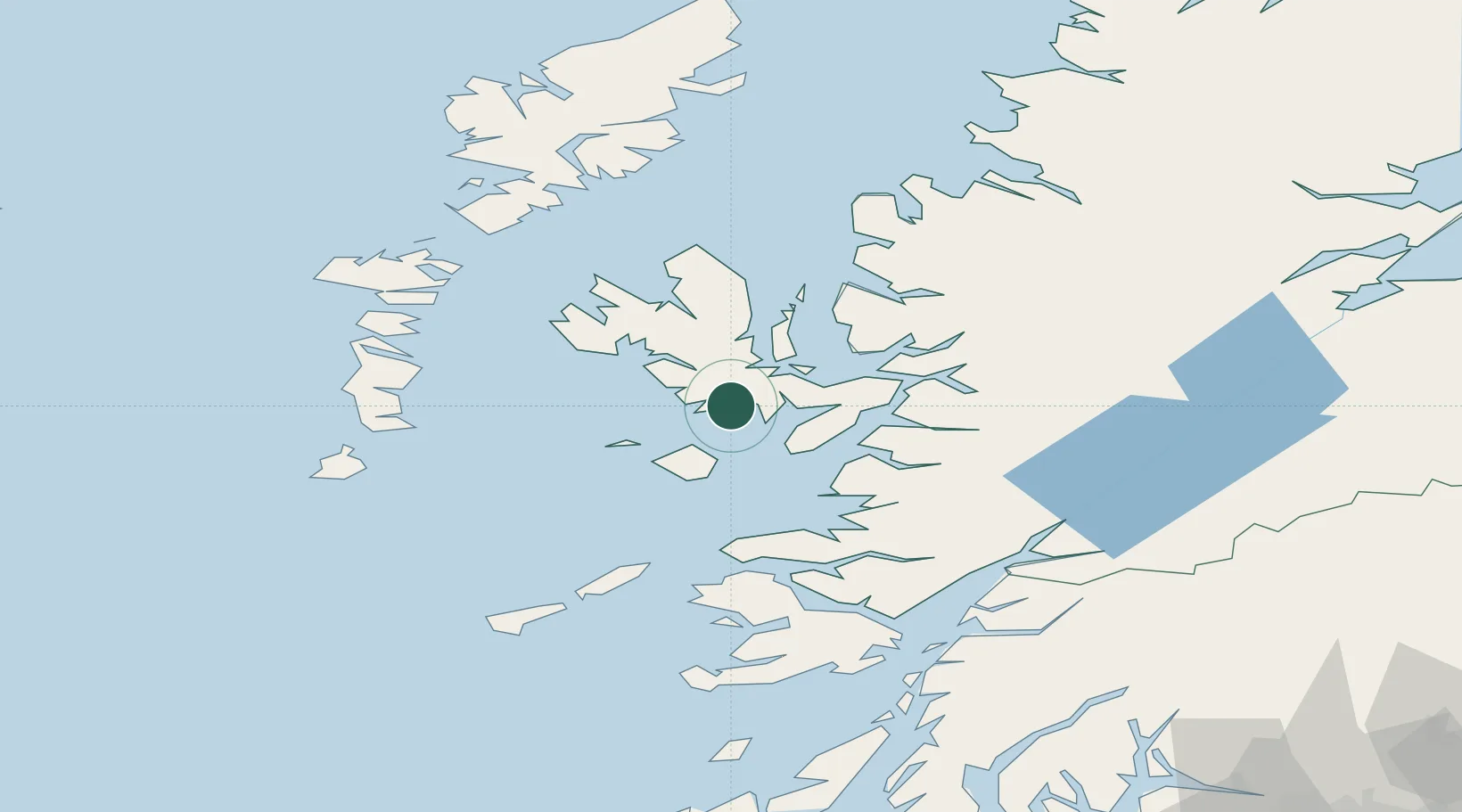
Location
Nearby Logistics Neighbours
Cities
- 1Portnalong4 km
- 2Elgol, Isle of Skye7 km
- 3Strathaird9 km
- 4Sconser, Isle of Skye14 km
- 5Clachan, Raasay19 km
Ports
- 1Broadford Bay21 km
- 2Portree Harbor26 km
- 3Kyleakin30 km
- 4Mallaig31 km
- 5Kyle Of Lochalsh31 km
Airports
- 1Coll Airport70 km
- 2Barra Airport77 km
- 3Benbecula Airport77 km
- 4Tiree Airport86 km
- 5Oban Airport94 km
Trade Zones
DatabookThe Record of Consolidated Knowledge
United Kingdom beyond logistics?