Transport Functions
Port
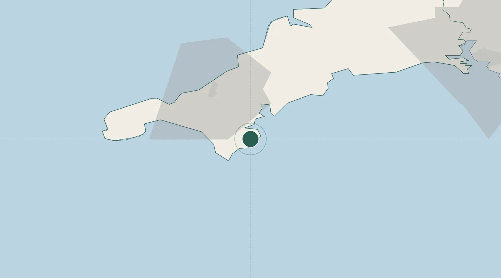
Hub Profile
Place type
Populated place
Region
England
Time zone
Europe/London
Elevation
87 m
Location
Nearby Logistics Neighbours
Cities
- 1Porthoustock2 km
- 2Helford River5 km
- 3Constantine9 km
- 4Cadgwith9 km
- 5Gweek9 km
Ports
- 1Falmouth Harbour11 km
- 2Hayle27 km
- 3Penzance32 km
- 4Newlyn33 km
- 5Mevagissey33 km
Airports
- 1RNAS Culdrose12 km
- 2Penzance Heliport31 km
- 3Land's End Airport41 km
- 4Cornwall Airport Newquay44 km
- 5St. Mary's Airport87 km
Trade Zones
DatabookThe Record of Consolidated Knowledge
United Kingdom beyond logistics?