Transport Functions
Port
Hub Profile
Place type
Populated place
Region
Scotland
Time zone
Europe/London
Elevation
8 m
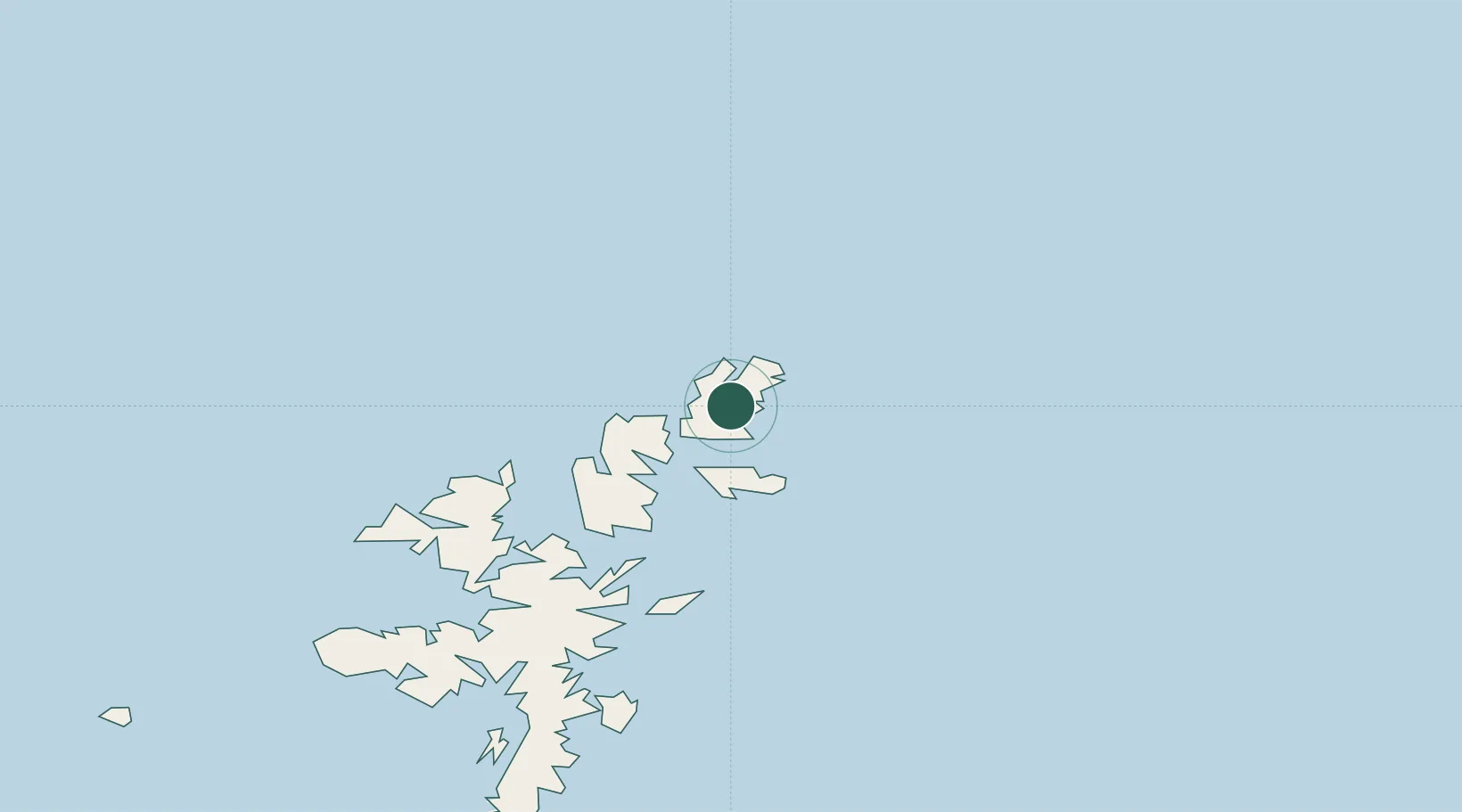
Location
Nearby Logistics Neighbours
Cities
- 1Uyeasound, Unst6 km
- 2Yell and Fetlar8 km
- 3Belmont, Unst9 km
- 4Cullivoe, Yell10 km
- 5Gutcher, Yell12 km
Ports
- 1Sullom Voe39 km
- 2Lerwick67 km
- 3Scalloway72 km
- 4Kettletoft194 km
- 5Pierowall198 km
Airports
- 1Lerwick / Tingwall Airport65 km
- 2Foula Airfield96 km
- 3Sumburgh Airport100 km
- 4Fair Isle Airport142 km
- 5North Ronaldsay Airport177 km
Trade Zones
DatabookThe Record of Consolidated Knowledge
United Kingdom beyond logistics?