Transport Functions
Port
Road
Hub Profile
Region
HLD
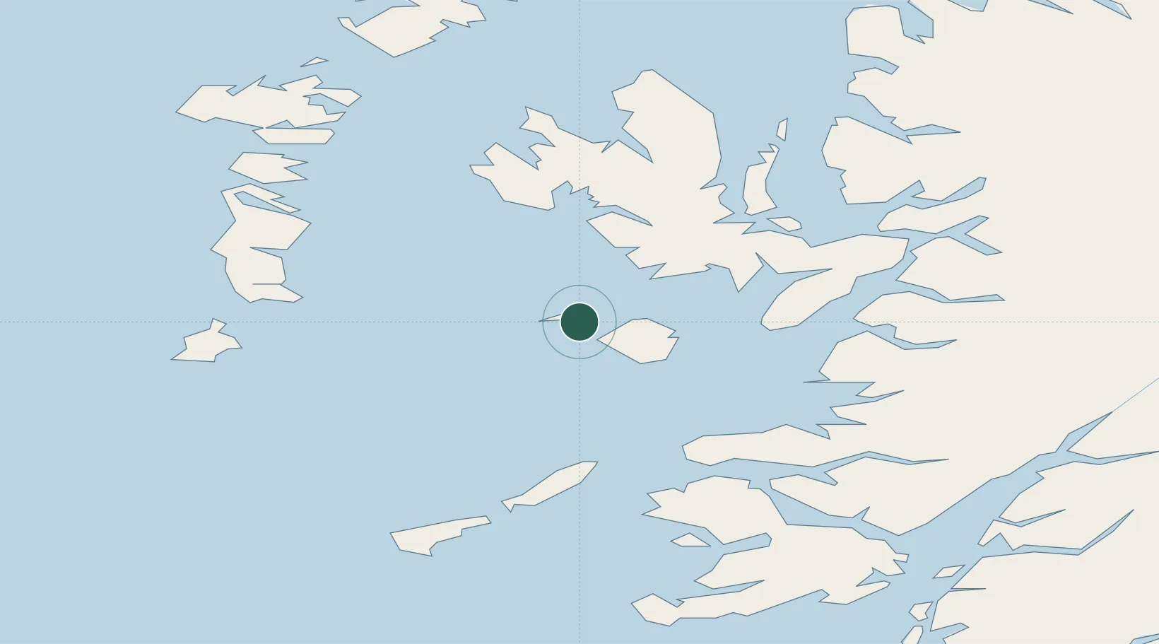
Location
Nearby Logistics Neighbours
Cities
- 1Kinloch, Rum14 km
- 2Portnalong23 km
- 3Carbost23 km
- 4Eigg26 km
- 5Elgol, Isle of Skye27 km
Ports
- 1Mallaig42 km
- 2Broadford Bay43 km
- 3Portree Harbor45 km
- 4Lochboisdale50 km
- 5Kyleakin52 km
Airports
- 1Coll Airport50 km
- 2Barra Airport57 km
- 3Tiree Airport65 km
- 4Benbecula Airport71 km
- 5Oban Airport94 km
Trade Zones
DatabookThe Record of Consolidated Knowledge
United Kingdom beyond logistics?