Transport Functions
Port
Rail
Road
Hub Profile
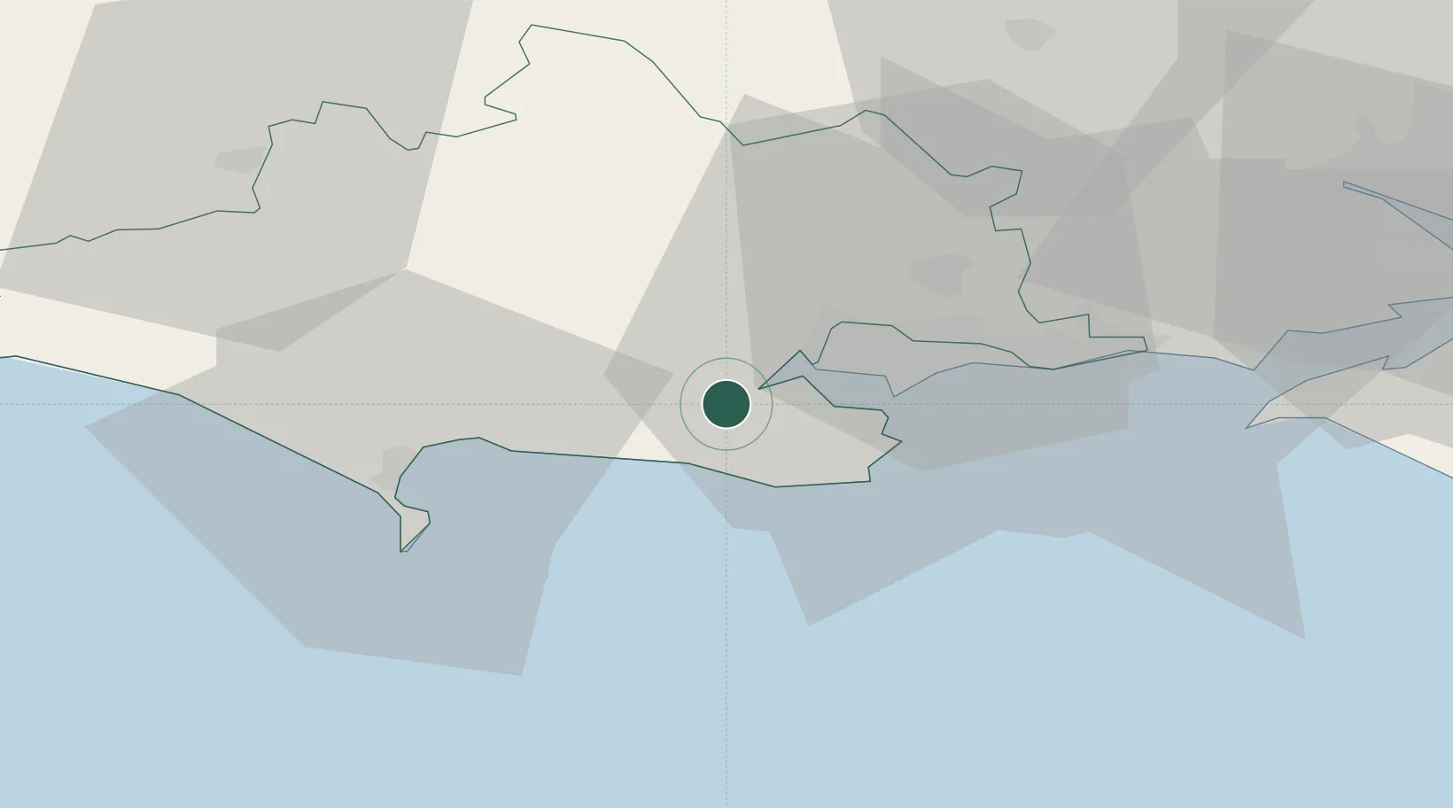
Place type
Populated place
Region
England
Population
7,592
Time zone
Europe/London
Elevation
11 m
Location
Nearby Logistics Neighbours
Cities
- 1Furzebrook4 km
- 2Lytchett Minster7 km
- 3Lulworth Cove7 km
- 4Kimmeridge7 km
- 5Morden9 km
Ports
- 1Poole Harbour12 km
- 2Weymouth Harbour25 km
- 3Portland Harbour25 km
- 4Yarmouth Harbour44 km
- 5Bridport Harbour46 km
Airports
- 1Bournemouth Airport22 km
- 2RNAS Yeovilton52 km
- 3MoD Boscombe Down58 km
- 4Southampton Airport61 km
- 5Bristol Airport88 km
Trade Zones
DatabookThe Record of Consolidated Knowledge
United Kingdom beyond logistics?