Transport Functions
Port
Road
Hub Profile
Region
CGN
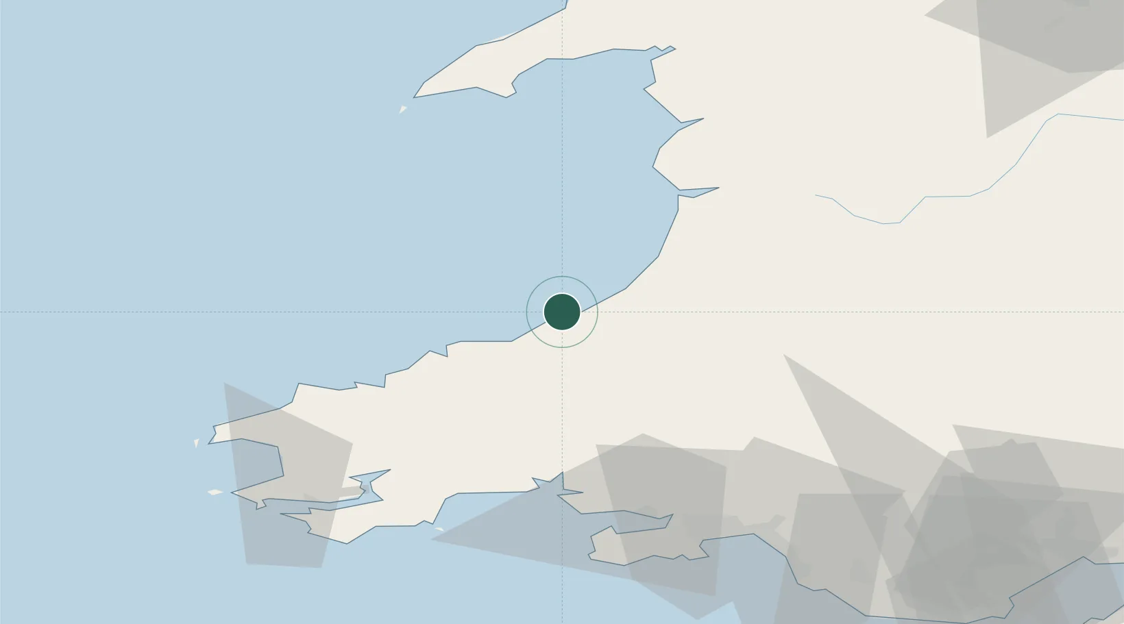
Location
Nearby Logistics Neighbours
Cities
- 1Aberaeron9 km
- 2Bethania19 km
- 3Newcastle Emlyn22 km
- 4Cardigan (Aberteifi)24 km
- 5Aberystwyth29 km
Ports
- 1Fishguard48 km
- 2Milford Haven72 km
- 3Swansea73 km
- 4Neath75 km
- 5Port Talbot80 km
Airports
- 1Haverfordwest Airport59 km
- 2Swansea Airport71 km
- 3MOD St Athan111 km
- 4Cardiff International Airport115 km
- 5Anglesey Airport115 km
Trade Zones
- 1Hereford Enterprise Zone117 km
- 2Ceramics Valley124 km
- 3Bristol Temple Quarter Enterprise Zone150 km
- 4Cheshire Science Corridor152 km
- 5Mersey Waters Enterprise Zone160 km
DatabookThe Record of Consolidated Knowledge
United Kingdom beyond logistics?