Transport Functions
Port
Road
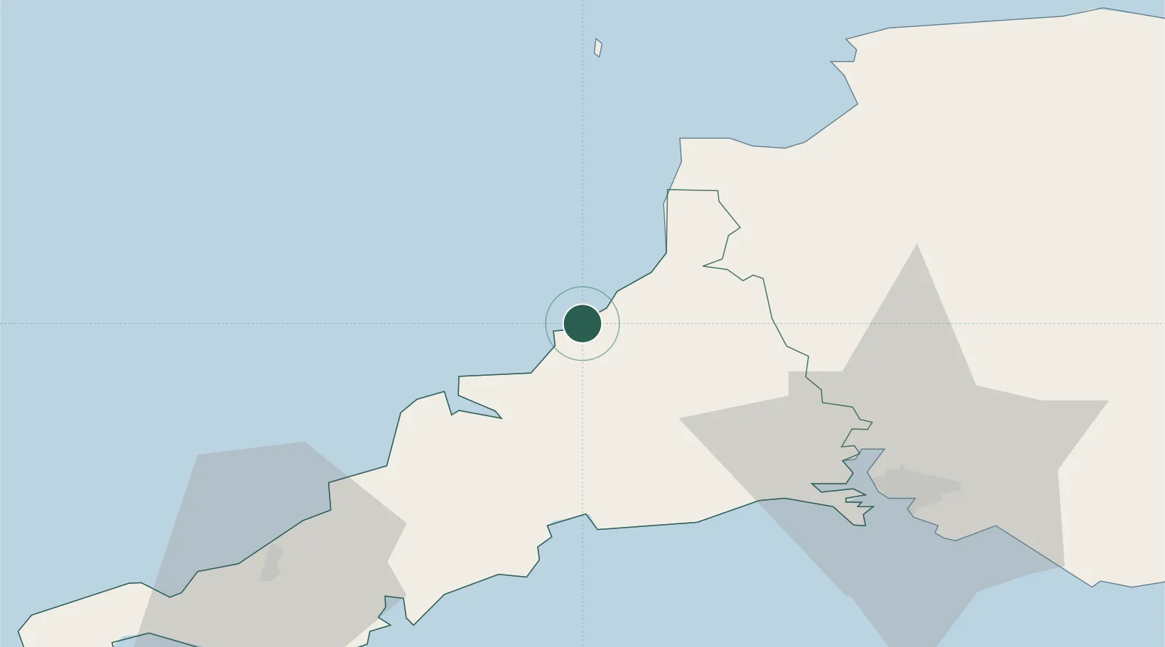
Hub Profile
Place type
Populated place
Region
England
Population
641
Time zone
Europe/London
Elevation
88 m
Location
Nearby Logistics Neighbours
Cities
- 1Port Gaverne12 km
- 2Port Isaac14 km
- 3Saint Minver19 km
- 4Bude20 km
- 5Wadebridge21 km
Ports
- 1Padstow22 km
- 2Par37 km
- 3Charlestown39 km
- 4Fowey Harbour39 km
- 5Mevagissey47 km
Airports
- 1Cornwall Airport Newquay34 km
- 2Hartland Point Heliport39 km
- 3Lundy Island Helipad54 km
- 4Royal Marines Base Chivenor59 km
- 5RNAS Culdrose77 km
DatabookThe Record of Consolidated Knowledge
United Kingdom beyond logistics?