Transport Functions
Port
Road
Hub Profile
Place type
Populated place
Region
England
Population
299
Time zone
Europe/London
Elevation
39 m
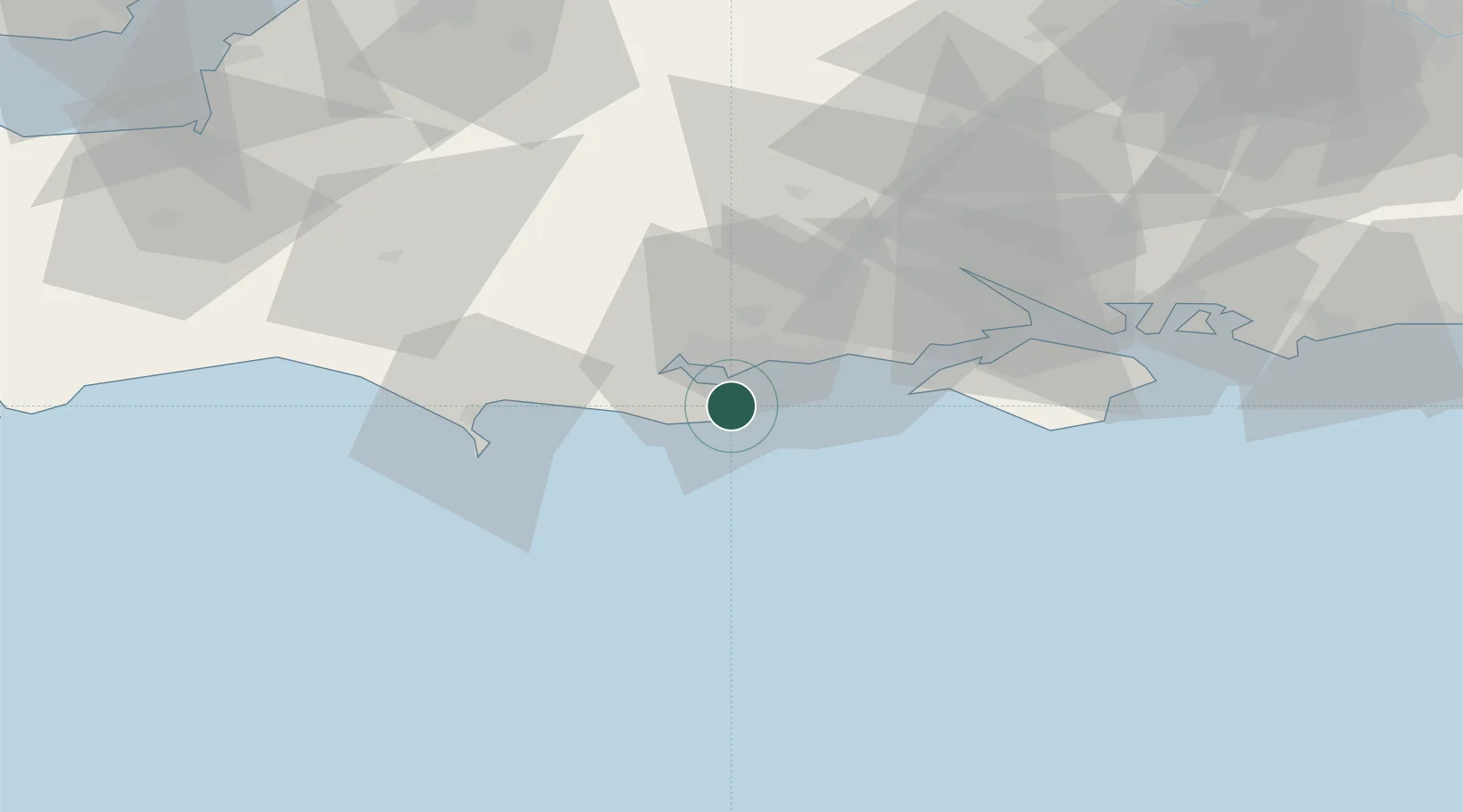
Location
Nearby Logistics Neighbours
Cities
- 1Swanage3 km
- 2Furzebrook11 km
- 3Bournemouth12 km
- 4Kimmeridge13 km
- 5Lytchett Minster14 km
Ports
- 1Poole Harbour6 km
- 2Yarmouth Harbour31 km
- 3Portland Harbour36 km
- 4Weymouth Harbour37 km
- 5Fawley Marine Terminal47 km
Airports
- 1Bournemouth Airport18 km
- 2Southampton Airport54 km
- 3MoD Boscombe Down59 km
- 4RNAS Yeovilton65 km
- 5Lasham Airfield88 km
Trade Zones
- 1Dorset Innovation Park24 km
- 2Southampton Free Zone47 km
- 3Solent Enterprise Zone64 km
- 4EZ³ Enterprise Zone68 km
- 5Bristol Temple Quarter Enterprise Zone101 km
DatabookThe Record of Consolidated Knowledge
United Kingdom beyond logistics?