UN/LOCODE hub · United Kingdom
GBCCH
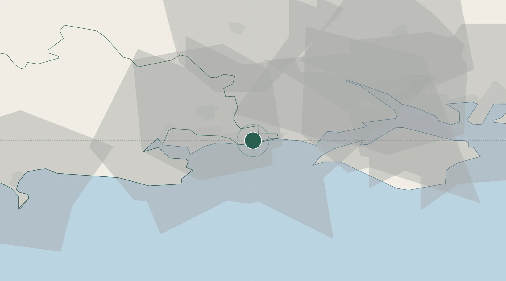
Christchurch
50.7333°, -1.7500°
42,396
Population
3
Transport functions
Transport Functions
Port
Rail
Road
Hub Profile
Place type
Populated place
Region
England
Population
42,396
Time zone
Europe/London
Elevation
4 m
Location
Nearby Logistics Neighbours
Cities
- 1Barton on Sea7 km
- 2Bournemouth9 km
- 3Milford-on-Sea12 km
- 4Sway12 km
- 5Keyhaven13 km
Ports
- 1Poole Harbour15 km
- 2Yarmouth Harbour18 km
- 3Fawley Marine Terminal31 km
- 4Southampton31 km
- 5Cowes Harbour32 km
Airports
- 1Bournemouth Airport8 km
- 2Southampton Airport37 km
- 3MoD Boscombe Down47 km
- 4RNAS Yeovilton70 km
- 5Lasham Airfield71 km
Trade Zones
DatabookThe Record of Consolidated Knowledge
United Kingdom beyond logistics?