UN/LOCODE hub · United Kingdom
GBBKA

Buckfast

50.4833°, -3.7833°
2
Transport functions

Transport Functions

Road
Multimodal
UN/LOCODE

Hub Profile

Place type
Populated place
GeoNames
Region
England
GeoNames
Time zone
Europe/London
GeoNames
Elevation
42 m
GeoNames

Location

Location of GBBKA
Natural Earth 10m (public domain) · England · GBBKA · 50.48, -3.78GoogleOSMYandex

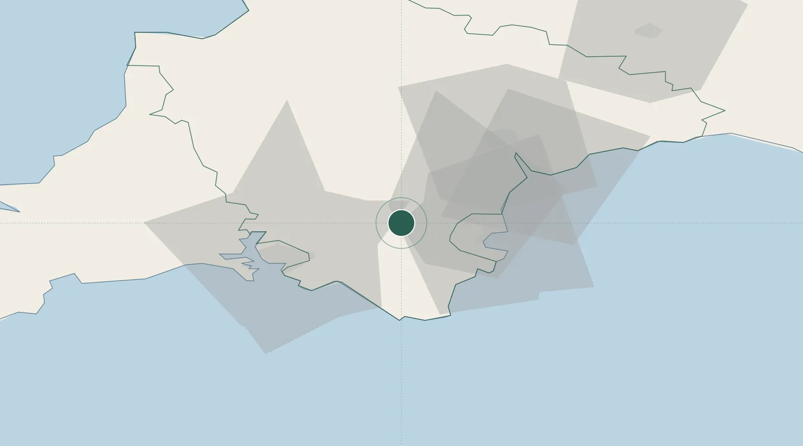
Nearby Logistics Neighbours

Cities
  1. 1Bickington9 km
  2. 2Halwell16 km
  3. 3Torbay/Paignton16 km
  4. 4Paignton16 km
  5. 5Bishopsteignton19 km
Nearest neighbours — logibook spatial index (haversine) over the source coordinates
Ports
  1. 1Torquay Harbour18 km
  2. 2Dartmouth Harbour19 km
  3. 3Brixham Harbour21 km
  4. 4Teignmouth Harbour21 km
  5. 5Plymouth29 km
Nearest neighbours — logibook spatial index (haversine) over the source coordinates
Airports
  1. 1Exeter International Airport38 km
  2. 2Royal Marines Base Chivenor72 km
  3. 3Hartland Point Heliport79 km
  4. 4Cornwall Airport Newquay86 km
  5. 5Lundy Island Helipad98 km
Nearest neighbours — logibook spatial index (haversine) over the source coordinates
Trade Zones
  1. 1Heart of the South West Enterprise Zone24 km
  2. 2Oceansgate Plymouth31 km
  3. 3Exeter & East Devon Enterprise Zone36 km
  4. 4Cornwall Newquay Aerohub Enterprise Zone86 km
  5. 5Dorset Innovation Park110 km
Nearest neighbours — logibook spatial index (haversine) over the source coordinates
DatabookThe Record of Consolidated Knowledge
United Kingdom beyond logistics?
Browse databook

All Sources

LocationsUN/LOCODE
UN/LOCODE — free
Portsthe NGA World Port Index
Public domain (US gov)
AirportsOurAirports
Public domain
Trade Zonesthe World Bank SEZ database
CC BY 4.0
Trade ZonesOpen Zone Map
CC BY
← United Kingdom locations