Transport Functions
Port
Hub Profile
Place type
Populated place
Region
England
Time zone
Europe/London
Elevation
113 m
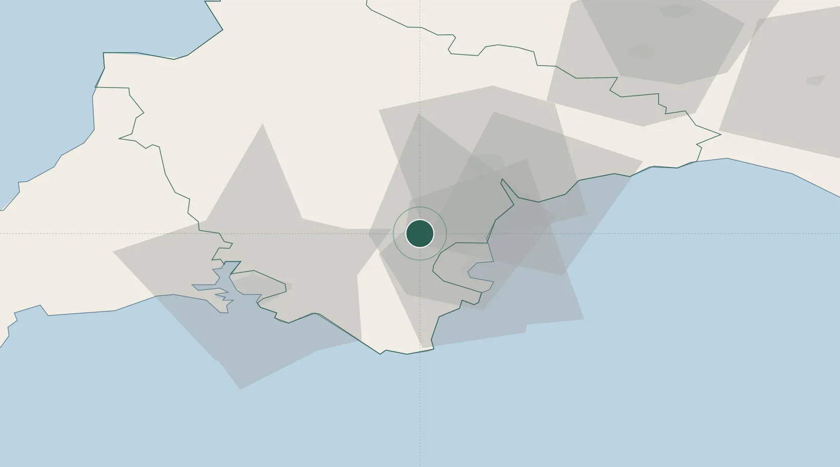
Location
Nearby Logistics Neighbours
Cities
- 1Buckfast9 km
- 2Bishopsteignton11 km
- 3Torbay/Paignton12 km
- 4Paignton14 km
- 5Teignmouth15 km
Ports
- 1Torquay Harbour13 km
- 2Teignmouth Harbour13 km
- 3Brixham Harbour19 km
- 4Dartmouth Harbour21 km
- 5Plymouth38 km
Airports
- 1Exeter International Airport29 km
- 2Royal Marines Base Chivenor70 km
- 3Hartland Point Heliport80 km
- 4RNAS Yeovilton91 km
- 5Cornwall Airport Newquay93 km
Trade Zones
DatabookThe Record of Consolidated Knowledge
United Kingdom beyond logistics?