Transport Functions
Rail
Road
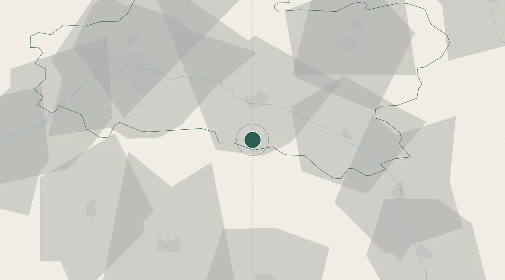
Hub Profile
Place type
Populated place
Region
Centre-Val de Loire
Population
1,068
Time zone
Europe/Paris
Elevation
146 m
Location
Nearby Logistics Neighbours
Cities
- 1Ozouer-sur-Loire15 km
- 2Montoire18 km
- 3Neuvy-en-Sullias21 km
- 4Tigy22 km
- 5Souesmes23 km
Ports
- 1Port Of Rouen224 km
- 2Honfleur254 km
- 3Deauville256 km
- 4Port Of Le Havre264 km
- 5Port De Caen264 km
Airports
- 1Orléans-Bricy (BA 123) Air Base60 km
- 2Bourges airport64 km
- 3Avord (BA 702) Air Base68 km
- 4Châteaudun Airfield88 km
- 5Auxerre Branches airport88 km
Trade Zones
- 1ZFU Orléans47 km
- 2ZFU Bourges62 km
- 3ZFU Blois82 km
- 4ZFU Sens92 km
- 5ZFU Montereau-Fault-Yonne94 km
DatabookThe Record of Consolidated Knowledge
France beyond logistics?