Transport Functions
Multimodal
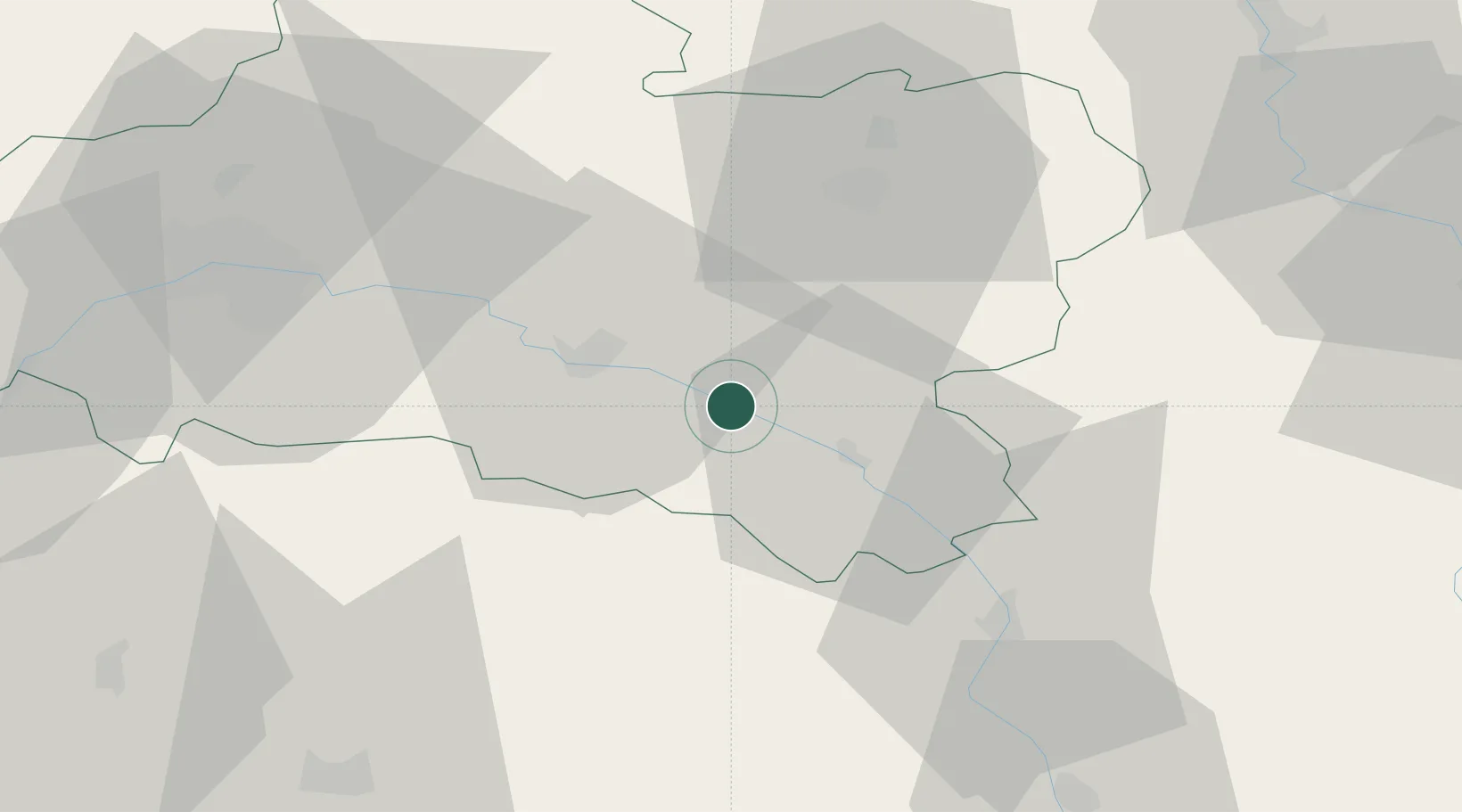
Hub Profile
Place type
Populated place
Region
Centre-Val de Loire
Time zone
Europe/Paris
Elevation
137 m
Location
Nearby Logistics Neighbours
Cities
- 1Ozouer-sur-Loire8 km
- 2La Bussière14 km
- 3Cerdon18 km
- 4Châtillon-sur-Loire20 km
- 5Rogny-les-Sept-Écluses24 km
Ports
- 1Port Of Rouen222 km
- 2Honfleur256 km
- 3Deauville259 km
- 4Port Of Le Havre267 km
- 5Dieppe269 km
Airports
Trade Zones
- 1ZFU Orléans57 km
- 2ZFU Bourges73 km
- 3ZFU Sens75 km
- 4ZFU Montereau-Fault-Yonne80 km
- 5ZFU Melun92 km
DatabookThe Record of Consolidated Knowledge
France beyond logistics?