Transport Functions
Multimodal
Hub Profile
Place type
Populated place
Region
Grand Est
Population
720
Time zone
Europe/Paris
Elevation
179 m
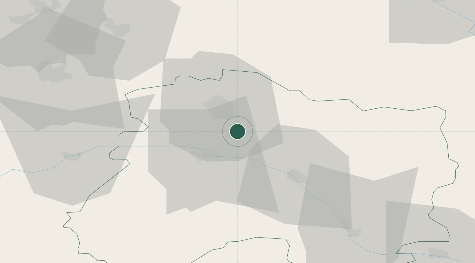
Location
Nearby Logistics Neighbours
Cities
- 1Ludes2 km
- 2Verzenay3 km
- 3Rilly-la-Montagne5 km
- 4Louvois6 km
- 5Sillery6 km
Ports
- 1Bruxelles192 km
- 2Ghent215 km
- 3Antwerpen231 km
- 4Bruges240 km
- 5Nieuwpoort241 km
Airports
Trade Zones
- 1ZFU Reims15 km
- 2ZFU Presles, Chevreux64 km
- 3ZFU Ronde Couture79 km
- 4ZFU Saint-Dizier80 km
- 5ZFU Meaux92 km
DatabookThe Record of Consolidated Knowledge
France beyond logistics?