UN/LOCODE hub · France
FRZEV

Plozévet

47.9833°, -4.4333°
2,901
Population
3
Transport functions

Transport Functions

Port
Rail
Road
UN/LOCODE

Hub Profile

Place type
Populated place
GeoNames
Region
Brittany
GeoNames
Population
2,901
GeoNames
Time zone
Europe/Paris
GeoNames
Elevation
67 m
GeoNames

Location

Location of FRZEV
Natural Earth 10m (public domain) · Brittany · FRZEV · 47.98, -4.43GoogleOSMYandex

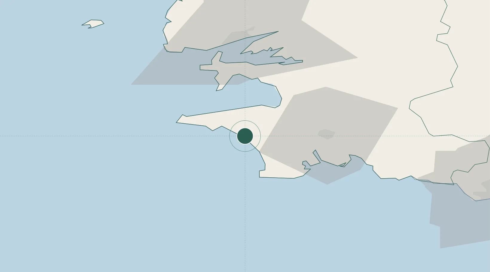
Nearby Logistics Neighbours

Cities
  1. 1Pouldreuzic6 km
  2. 2Landudec7 km
  3. 3Plovan9 km
  4. 4Audierne11 km
  5. 5Douarnenez15 km
Nearest neighbours — logibook spatial index (haversine) over the source coordinates
Ports
  1. 1Concarneau41 km
  2. 2Rade De Brest45 km
  3. 3Morlaix80 km
  4. 4Lorient85 km
  5. 5Port De Roscoff-Bloscon90 km
Nearest neighbours — logibook spatial index (haversine) over the source coordinates
Airports
  1. 1Quimper-Cornouaille Airport20 km
  2. 2Lanvéoc-Poulmic Air Base33 km
  3. 3Brest Bretagne airport52 km
  4. 4Landivisiau Air Base64 km
  5. 5Ouessant Airport71 km
Nearest neighbours — logibook spatial index (haversine) over the source coordinates
Trade Zones
  1. 1ZFU Saint-Nazaire180 km
  2. 2ZFU Nantes et Saint-Herblain222 km
  3. 3Oceansgate Plymouth266 km
  4. 4Heart of the South West Enterprise Zone269 km
  5. 5ZFU Cherbourg-Octeville274 km
Nearest neighbours — logibook spatial index (haversine) over the source coordinates
DatabookThe Record of Consolidated Knowledge
France beyond logistics?
Browse databook

All Sources

LocationsUN/LOCODE
UN/LOCODE — free
LocationsGeoNames
CC BY 4.0
Portsthe NGA World Port Index
Public domain (US gov)
AirportsOurAirports
Public domain
Trade Zonesthe World Bank SEZ database
CC BY 4.0
Trade ZonesOpen Zone Map
CC BY
← France locations