Small airport · France

Ouessant AirportLFEC
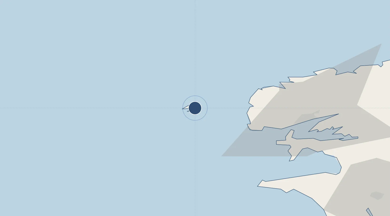
48.4632°, -5.0636°
2,733 ft
Longest runway
1
Runways
142 ft
Elevation

Runway & Layout

Ouessant Airport runway & taxiway layout
Runway & taxiway layout — OpenStreetMap (ODbL) / OurAirports

Runways · 1

RunwayDimensions SurfaceTrue headingLit
05/23 2,733 × 79ft paved
OurAirports

Airport Specifications

IATA code
OUI
OurAirports
ICAO code
LFEC
OurAirports
Airport class
Small airport
OurAirports
Scheduled service
Yes
OurAirports
Runway surface
paved
OurAirports
Served city
Ushant
OurAirports

Location

Location of LFEC
Natural Earth 10m (public domain) · Finistère · LFEC · 48.46, -5.06GoogleOSMYandex

Nearby Logistics Neighbours

Airports
  1. 1Brest Bretagne airport48 km
  2. 2Lanvéoc-Poulmic Air Base50 km
  3. 3Landivisiau Air Base68 km
  4. 4Quimper-Cornouaille Airport86 km
  5. 5Morlaix-Ploujean Airport93 km
Nearest neighbours — logibook spatial index (haversine) over the source coordinates
Cities
  1. 1Ouessant2 km
  2. 2Ouessant3 km
  3. 3Lampaul-Plouarzel22 km
  4. 4Lanildut23 km
  5. 5Le Conquet24 km
Nearest neighbours — logibook spatial index (haversine) over the source coordinates
Ports
  1. 1Rade De Brest43 km
  2. 2Port De Roscoff-Bloscon85 km
  3. 3Morlaix92 km
  4. 4Concarneau108 km
  5. 5Treguier139 km
Nearest neighbours — logibook spatial index (haversine) over the source coordinates
Trade Zones
  1. 1Cornwall Newquay Aerohub Enterprise Zone219 km
  2. 2Oceansgate Plymouth221 km
  3. 3Heart of the South West Enterprise Zone226 km
  4. 4ZFU Saint-Nazaire246 km
  5. 5Exeter & East Devon Enterprise Zone278 km
Nearest neighbours — logibook spatial index (haversine) over the source coordinates
DatabookThe Record of Consolidated Knowledge
France beyond logistics?
Browse databook

All Sources

AirportsOurAirports
Public domain
Portsthe NGA World Port Index
Public domain (US gov)
LocationsUN/LOCODE
UN/LOCODE — free
Trade Zonesthe World Bank SEZ database
CC BY 4.0
Trade ZonesOpen Zone Map
CC BY
InfrastructureOpenStreetMap
ODbL 1.0
← France airports