Transport Functions
Port
Road
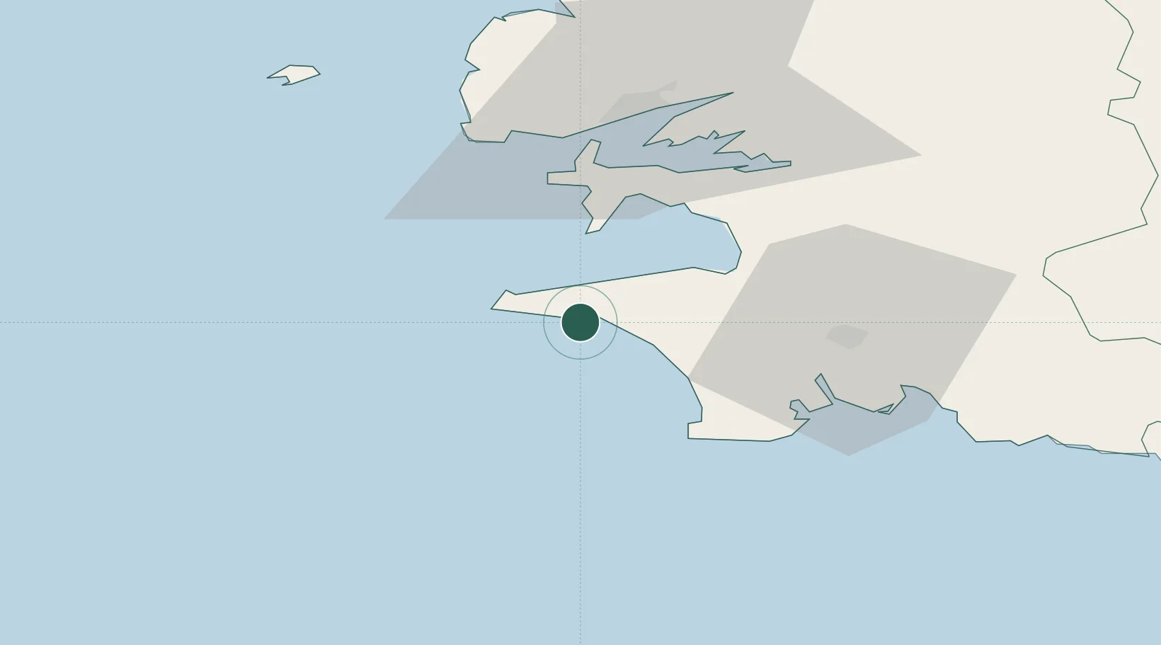
Hub Profile
Place type
Populated place
Region
Brittany
Population
2,601
Time zone
Europe/Paris
Elevation
12 m
Location
Nearby Logistics Neighbours
Cities
- 1Plogoff8 km
- 2Plozévet11 km
- 3Landudec16 km
- 4Pouldreuzic17 km
- 5Plovan19 km
Ports
- 1Rade De Brest41 km
- 2Concarneau51 km
- 3Morlaix83 km
- 4Port De Roscoff-Bloscon91 km
- 5Lorient96 km
Airports
- 1Quimper-Cornouaille Airport30 km
- 2Lanvéoc-Poulmic Air Base31 km
- 3Brest Bretagne airport49 km
- 4Ouessant Airport62 km
- 5Landivisiau Air Base65 km
Trade Zones
DatabookThe Record of Consolidated Knowledge
France beyond logistics?