Seaport · France
Rade De BrestFRBES
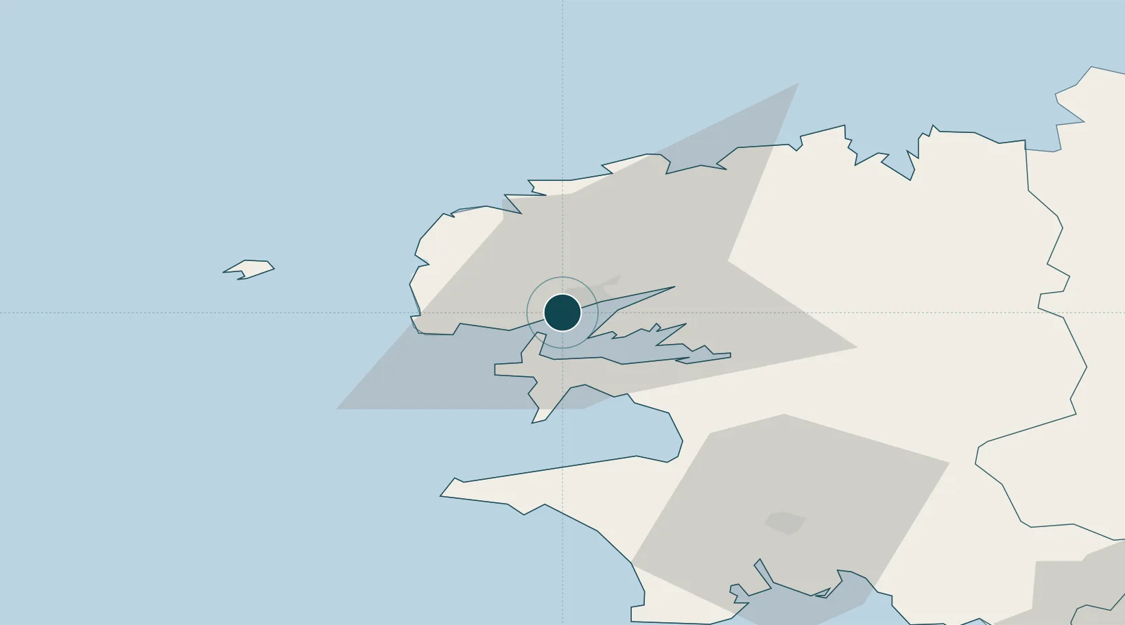
48.3833°, -4.5000°
12.5 m
Channel depth
1
Container terminals
22.3
Port liner connectivity
Channel & Berth Profile
Pilotage, Tugs & Services
Pilotage compulsoryYES
Pilotage availableYES
Pilotage advisableYES
Tug assistanceYES
Potable waterYES
Diesel bunkersYES
MedicalYES
Garbage disposalYES
Facilities & Capabilities
ContainerYES
Ro-RoYES
Liquid bulkYES
Dry bulkYES
Oil terminalYES
Break bulkYES
Dry dockNO
RepairsNO
BunkeringYES
Rail linkYES
Dangerous cargo—
ISPS securityYES
Harbour Specifications
Harbour size
Large
Harbour type
Coastal (Breakwater)
Shelter
Excellent
Water body
North Atlantic Ocean
Tidal range
7 m
Overhead limit
Yes
Pilotage
Yes
Liner Connectivity
22.3
PLSCI
Port Liner Shipping Connectivity Index for Rade De Brest, as published by UNCTAD for the latest available quarter. Higher values indicate stronger scheduled liner-shipping integration.
Shown relative to the highest per-port PLSCI in the dataset (1,657.9).
Location
Container Terminals · 1
BREST MULTIMODAL CONTAINER TERMINAL
BMCT CCI METROPOLITAINE BRETAGNE OUEST (CCIMBO)
Nearby Logistics Neighbours
Ports
- 1Morlaix54 km
- 2Port De Roscoff-Bloscon54 km
- 3Concarneau72 km
- 4Treguier103 km
- 5Pontrieux106 km
Cities
- 1Gouesnou8 km
- 2Le Passage9 km
- 3Le Fret11 km
- 4Lanvéoc11 km
- 5La Forest-Landerneau15 km
Airports
- 1Brest Bretagne airport9 km
- 2Lanvéoc-Poulmic Air Base12 km
- 3Landivisiau Air Base30 km
- 4Ouessant Airport43 km
- 5Quimper-Cornouaille Airport52 km
Trade Zones
DatabookThe Record of Consolidated Knowledge
France beyond logistics?