Transport Functions
Road
Multimodal
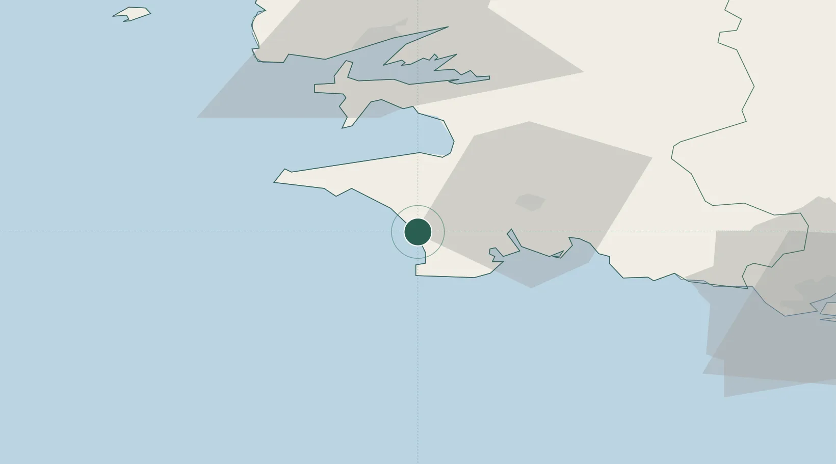
Hub Profile
Place type
Populated place
Region
Brittany
Population
642
Time zone
Europe/Paris
Elevation
22 m
Location
Nearby Logistics Neighbours
Cities
- 1Pouldreuzic4 km
- 2Plozévet9 km
- 3Landudec9 km
- 4Plomeur11 km
- 5Pont-l'Abbé13 km
Ports
- 1Concarneau34 km
- 2Rade De Brest53 km
- 3Lorient78 km
- 4Morlaix84 km
- 5Port De Roscoff-Bloscon95 km
Airports
Trade Zones
- 1ZFU Saint-Nazaire172 km
- 2ZFU Nantes et Saint-Herblain214 km
- 3Oceansgate Plymouth273 km
- 4ZFU Cherbourg-Octeville275 km
- 5Heart of the South West Enterprise Zone276 km
DatabookThe Record of Consolidated Knowledge
France beyond logistics?