Transport Functions
Multimodal
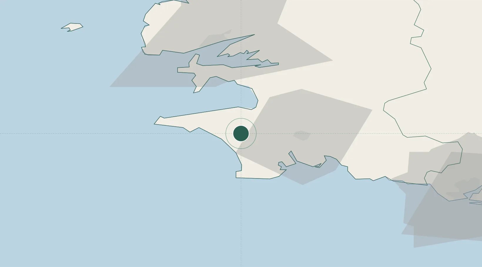
Hub Profile
Place type
Populated place
Region
Brittany
Population
1,209
Time zone
Europe/Paris
Elevation
121 m
Location
Nearby Logistics Neighbours
Cities
- 1Pouldreuzic6 km
- 2Plozévet7 km
- 3Plovan9 km
- 4Douarnenez11 km
- 5Audierne16 km
Ports
- 1Concarneau36 km
- 2Rade De Brest44 km
- 3Morlaix75 km
- 4Lorient80 km
- 5Port De Roscoff-Bloscon86 km
Airports
Trade Zones
- 1ZFU Saint-Nazaire175 km
- 2ZFU Nantes et Saint-Herblain217 km
- 3Oceansgate Plymouth264 km
- 4Heart of the South West Enterprise Zone267 km
- 5ZFU Cherbourg-Octeville268 km
DatabookThe Record of Consolidated Knowledge
France beyond logistics?