Medium airport · France
Lanvéoc-Poulmic Air BaseLFRL
48.2817°, -4.4450°
3,635 ft
Longest runway
3
Runways
287 ft
Elevation
Runway & Layout

Radio Frequencies
ATIS
137.4 MHz
TWR
123.2 MHz
LANVEOC TWR
GND
121.9 MHz
LANVEOC GND
APP
120.6 MHz
LANVEOC APP
Navaids
BST TACAN Lanveoc 114.70 MHz
BST NDB Lanveoc 428 kHz
Runways · 3
| Runway | Dimensions | Surface | True heading | Lit |
|---|---|---|---|---|
| 05/23 | 3,635 × 131ft | Asphalt | 051° | ✓ |
| 13/31 | 2,133 × 177ft | Grass | 128° | — |
| 06/24 | — | Unknown | — | — |
Airport Specifications
ICAO code
LFRL
Airport class
Medium airport
Scheduled service
No
Runway surface
Asphalt
Served city
Lanvéoc/Poulmic
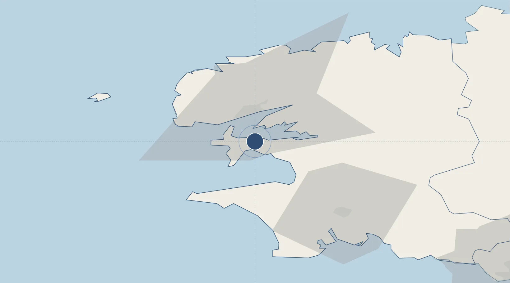
Location
Nearby Logistics Neighbours
Airports
- 1Brest Bretagne airport19 km
- 2Landivisiau Air Base35 km
- 3Quimper-Cornouaille Airport40 km
- 4Ouessant Airport50 km
- 5Morlaix-Ploujean Airport59 km
Cities
- 1Lanvéoc2 km
- 2Le Fret5 km
- 3Logonna-Daoulas11 km
- 4Brest12 km
- 5Le Passage12 km
Ports
- 1Rade De Brest12 km
- 2Morlaix56 km
- 3Concarneau61 km
- 4Port De Roscoff-Bloscon61 km
- 5Lorient101 km
Trade Zones
DatabookThe Record of Consolidated Knowledge
France beyond logistics?