Medium airport · France
Landivisiau Air BaseLFRJ
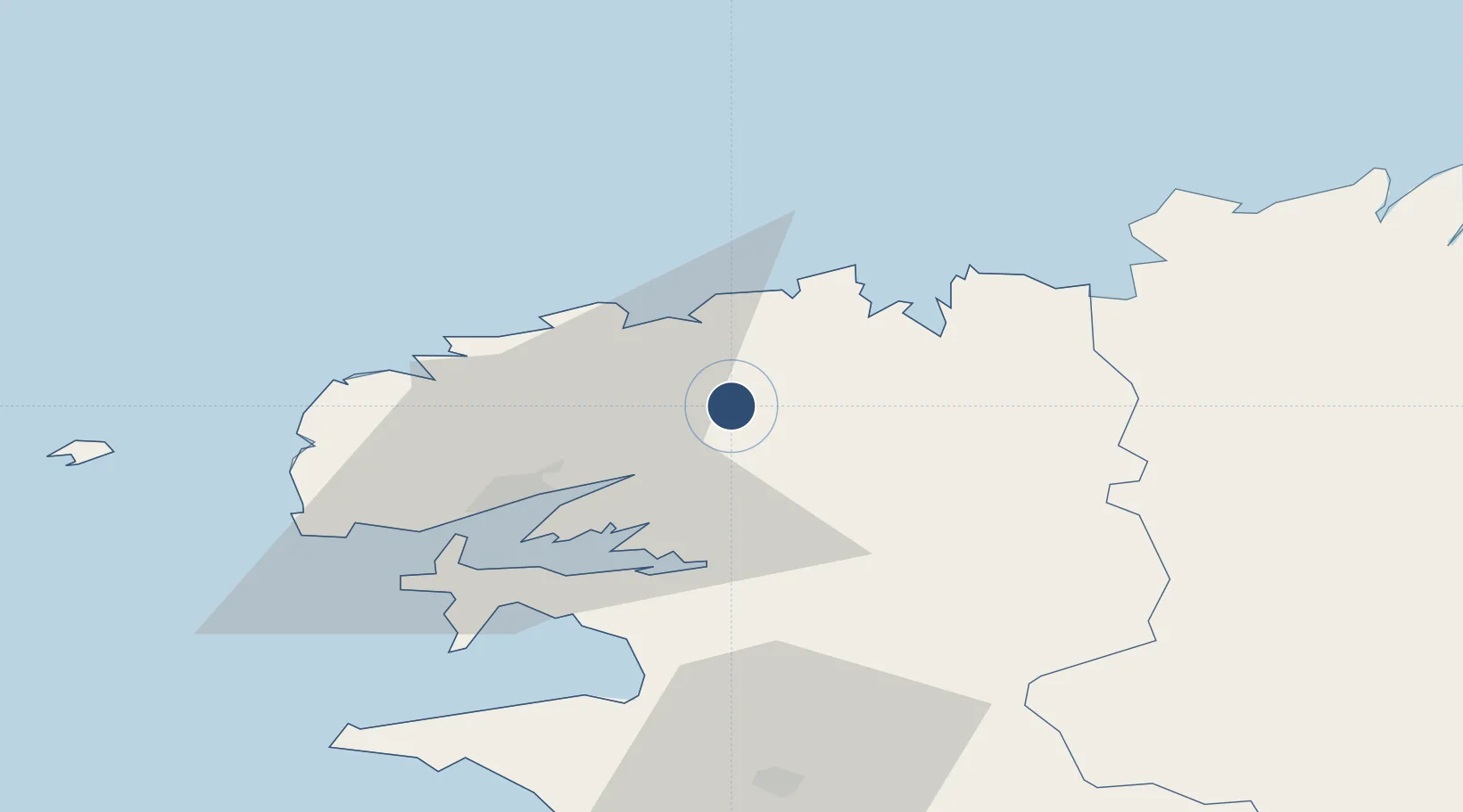
48.5303°, -4.1516°
8,858 ft
Longest runway
1
Runways
348 ft
Elevation
Runway & Layout

Radio Frequencies
ATIS
142.225 MHz
TWR
119.2 MHz
LANDI TWR
APP
122.4 MHz
LANDI APP
Navaids
LDV TACAN Landivisiau 115.15 MHz
Runways · 1
| Runway | Dimensions | Surface | True heading | Lit |
|---|---|---|---|---|
| 07/25 | 8,858 × 148ft | Concrete | 073° | ✓ |
Airport Specifications
IATA code
LDV
ICAO code
LFRJ
Airport class
Medium airport
Scheduled service
No
Runway surface
Concrete
Served city
Landivisiau
Location
Nearby Logistics Neighbours
Airports
- 1Brest Bretagne airport22 km
- 2Morlaix-Ploujean Airport26 km
- 3Lanvéoc-Poulmic Air Base35 km
- 4Lannion Airport56 km
- 5Quimper-Cornouaille Airport62 km
Cities
- 1Landerneau12 km
- 2Tréflaouénan12 km
- 3Pencran12 km
- 4Lesneven13 km
- 5La Forest-Landerneau16 km
Ports
- 1Morlaix24 km
- 2Port De Roscoff-Bloscon26 km
- 3Rade De Brest30 km
- 4Treguier73 km
- 5Concarneau76 km
Trade Zones
- 1ZFU Saint-Nazaire198 km
- 2Oceansgate Plymouth205 km
- 3Heart of the South West Enterprise Zone207 km
- 4ZFU Cherbourg-Octeville219 km
- 5Cornwall Newquay Aerohub Enterprise Zone220 km
DatabookThe Record of Consolidated Knowledge
France beyond logistics?