Transport Functions
Port
Road
Hub Profile
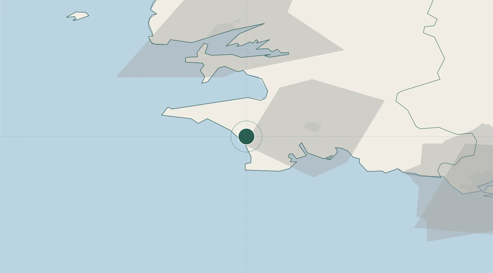
Place type
Populated place
Region
Brittany
Population
1,902
Time zone
Europe/Paris
Elevation
57 m
Location
Nearby Logistics Neighbours
Cities
- 1Plovan4 km
- 2Landudec6 km
- 3Plozévet6 km
- 4Plomeur14 km
- 5Pont-l'Abbé15 km
Ports
- 1Concarneau35 km
- 2Rade De Brest49 km
- 3Lorient79 km
- 4Morlaix81 km
- 5Port De Roscoff-Bloscon92 km
Airports
Trade Zones
- 1ZFU Saint-Nazaire174 km
- 2ZFU Nantes et Saint-Herblain216 km
- 3Oceansgate Plymouth270 km
- 4Heart of the South West Enterprise Zone273 km
- 5ZFU Cherbourg-Octeville273 km
DatabookThe Record of Consolidated Knowledge
France beyond logistics?