UN/LOCODE hub · France
FRDRZ

Douarnenez

48.1000°, -4.3333°
16,590
Population
1
Transport functions

Transport Functions

Port
UN/LOCODE

Hub Profile

Place type
Populated place
GeoNames
Region
Brittany
GeoNames
Population
16,590
GeoNames
Time zone
Europe/Paris
GeoNames
Elevation
23 m
GeoNames

Location

Location of FRDRZ
Natural Earth 10m (public domain) · Brittany · FRDRZ · 48.10, -4.33GoogleOSMYandex

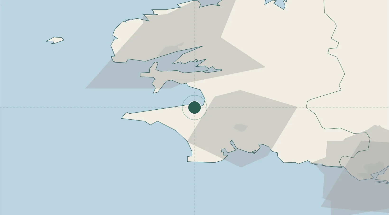
Nearby Logistics Neighbours

Cities
  1. 1Landudec11 km
  2. 2Plozévet15 km
  3. 3Pouldreuzic17 km
  4. 4Audierne20 km
  5. 5Plovan21 km
Nearest neighbours — logibook spatial index (haversine) over the source coordinates
Ports
  1. 1Rade De Brest34 km
  2. 2Concarneau40 km
  3. 3Morlaix65 km
  4. 4Port De Roscoff-Bloscon75 km
  5. 5Lorient83 km
Nearest neighbours — logibook spatial index (haversine) over the source coordinates
Airports
  1. 1Quimper-Cornouaille Airport19 km
  2. 2Lanvéoc-Poulmic Air Base22 km
  3. 3Brest Bretagne airport39 km
  4. 4Landivisiau Air Base50 km
  5. 5Ouessant Airport68 km
Nearest neighbours — logibook spatial index (haversine) over the source coordinates
Trade Zones
  1. 1ZFU Saint-Nazaire179 km
  2. 2ZFU Nantes et Saint-Herblain220 km
  3. 3Oceansgate Plymouth253 km
  4. 4Heart of the South West Enterprise Zone256 km
  5. 5ZFU Cherbourg-Octeville260 km
Nearest neighbours — logibook spatial index (haversine) over the source coordinates
DatabookThe Record of Consolidated Knowledge
France beyond logistics?
Browse databook

All Sources

LocationsUN/LOCODE
UN/LOCODE — free
LocationsGeoNames
CC BY 4.0
Portsthe NGA World Port Index
Public domain (US gov)
AirportsOurAirports
Public domain
Trade Zonesthe World Bank SEZ database
CC BY 4.0
Trade ZonesOpen Zone Map
CC BY
← France locations