Transport Functions
Multimodal
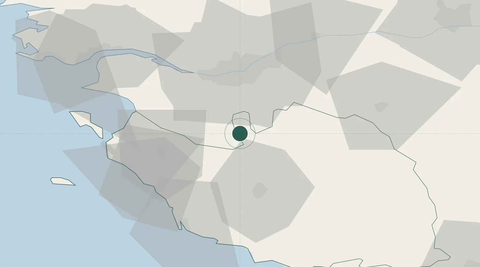
Hub Profile
Place type
Populated place
Region
Pays de la Loire
Population
2,404
Time zone
Europe/Paris
Elevation
47 m
Location
Nearby Logistics Neighbours
Cities
- 1La Limouzinière8 km
- 2Saint-Sulpice-le-Verdon9 km
- 3L'Herbergement12 km
- 4Montbert15 km
- 5Saint-Philbert-de-Grand-Lieu19 km
Ports
- 1Nantes30 km
- 2Les Sables D' Olonne53 km
- 3Donges58 km
- 4Montoir62 km
- 5St Nazaire65 km
Airports
Trade Zones
- 1ZFU Nantes et Saint-Herblain35 km
- 2ZFU Saint-Nazaire69 km
- 3ZFU La Rochelle89 km
- 4ZFU Angers92 km
- 5ZFU Le Mans170 km
DatabookThe Record of Consolidated Knowledge
France beyond logistics?