Medium airport · France

Nantes Atlantique AirportLFRS
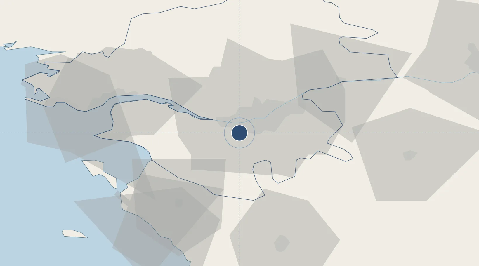
47.1532°, -1.6107°
9,514 ft
Longest runway
1
Runways
90 ft
Elevation

Runway & Layout

Nantes Atlantique Airport runway & taxiway layout
Runway & taxiway layout — OpenStreetMap (ODbL) / OurAirports

Radio Frequencies

ATIS
126.93 MHz
TWR
118.65 MHz
GND
121.655 MHz
APP
124.25 MHz
APP
124.43 MHz
INFO
130.275 MHz
OurAirports

Navaids

GL NDB Nantes 369 kHz
NTS VOR-DME Nantes 115.50 MHz
OurAirports

Runways · 1

RunwayDimensions SurfaceTrue headingLit
03/21 9,514 × 148ft Asphalt 028°
OurAirports

Airport Specifications

IATA code
NTE
OurAirports
ICAO code
LFRS
OurAirports
Airport class
Medium airport
OurAirports
Scheduled service
Yes
OurAirports
Runway surface
Asphalt
OurAirports
Served city
Nantes
OurAirports

Location

Location of LFRS
Natural Earth 10m (public domain) · Loire-Atlantique · LFRS · 47.15, -1.61GoogleOSMYandex

Nearby Logistics Neighbours

Airports
  1. 1Saint-Nazaire-Montoir Airport45 km
  2. 2Beauvoir Fromentine Airfield47 km
  3. 3La Roche-sur-Yon Les Ajoncs Airport53 km
  4. 4La Baule-Escoublac Airport58 km
  5. 5Ile D'Yeu Port Joinville Heliport73 km
Nearest neighbours — logibook spatial index (haversine) over the source coordinates
Cities
  1. 1Bouguenais3 km
  2. 2Rezé6 km
  3. 3Indre7 km
  4. 4Bouaye7 km
  5. 5Saint-Léger-les-Vignes10 km
Nearest neighbours — logibook spatial index (haversine) over the source coordinates
Ports
  1. 1Nantes6 km
  2. 2Donges38 km
  3. 3Montoir43 km
  4. 4St Nazaire47 km
  5. 5Les Sables D' Olonne74 km
Nearest neighbours — logibook spatial index (haversine) over the source coordinates
Trade Zones
  1. 1ZFU Nantes et Saint-Herblain10 km
  2. 2ZFU Saint-Nazaire52 km
  3. 3ZFU Angers85 km
  4. 4ZFU La Rochelle114 km
  5. 5ZFU Le Mans160 km
Nearest neighbours — logibook spatial index (haversine) over the source coordinates
DatabookThe Record of Consolidated Knowledge
France beyond logistics?
Browse databook

All Sources

AirportsOurAirports
Public domain
Portsthe NGA World Port Index
Public domain (US gov)
LocationsUN/LOCODE
UN/LOCODE — free
Trade Zonesthe World Bank SEZ database
CC BY 4.0
Trade ZonesOpen Zone Map
CC BY
InfrastructureOpenStreetMap
ODbL 1.0
← France airports