Medium airport · France

La Roche-sur-Yon Les Ajoncs AirportLFRI
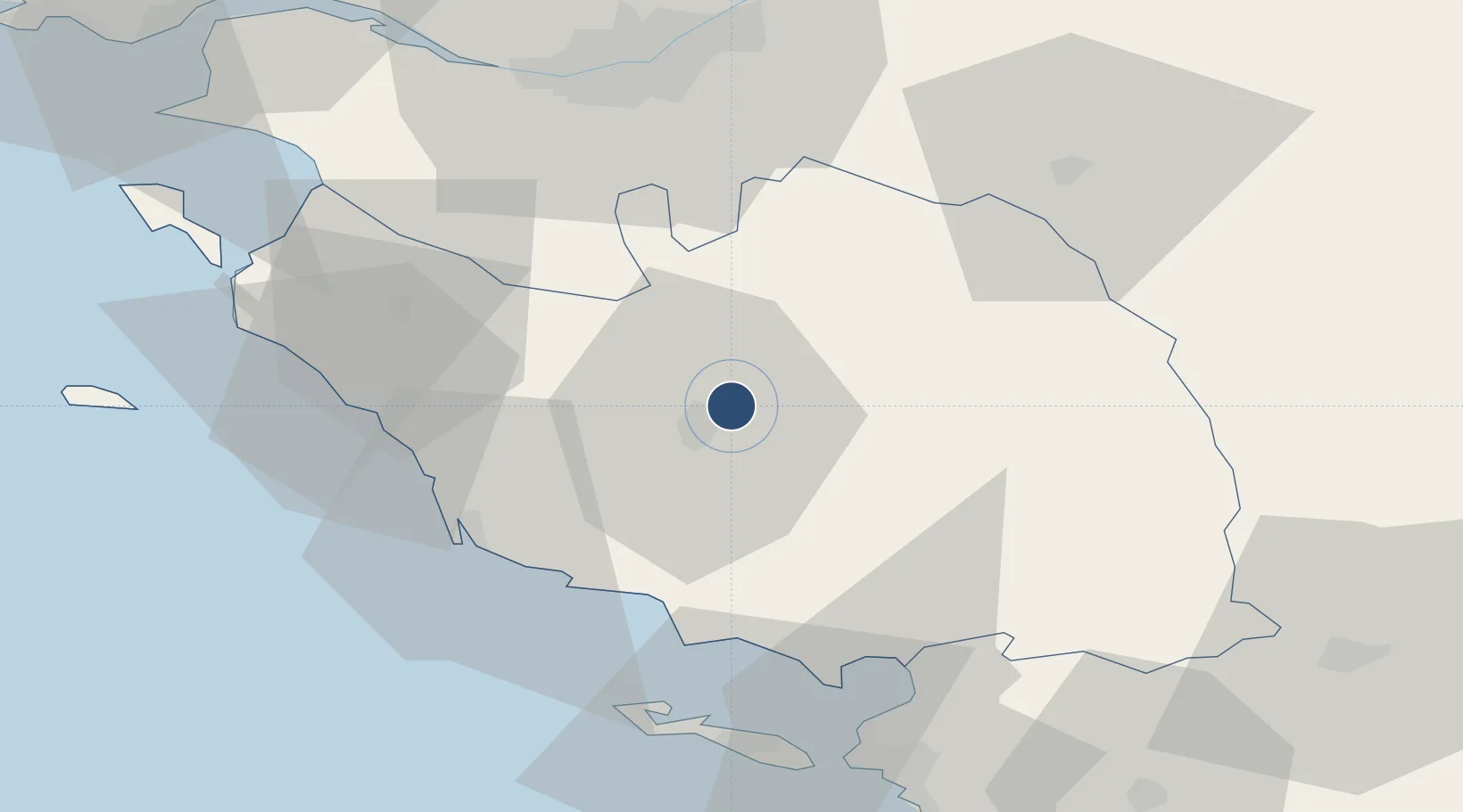
46.7019°, -1.3786°
5,085 ft
Longest runway
1
Runways
299 ft
Elevation

Runway & Layout

La Roche-sur-Yon Les Ajoncs Airport runway & taxiway layout
Runway & taxiway layout — OpenStreetMap (ODbL) / OurAirports

Radio Frequencies

APP
130.275 MHz
NANTES APP
AFIS
119.9 MHz
LA ROCHE INFO
OurAirports

Navaids

YN NDB La Roche Sur Yon 334 kHz
OurAirports

Runways · 1

RunwayDimensions SurfaceTrue headingLit
10/28 5,085 × 98ft Asphalt 102°
OurAirports

Airport Specifications

IATA code
EDM
OurAirports
ICAO code
LFRI
OurAirports
Airport class
Medium airport
OurAirports
Scheduled service
No
OurAirports
Runway surface
Asphalt
OurAirports
Served city
La Roche-sur-Yon
OurAirports

Location

Location of LFRI
Natural Earth 10m (public domain) · Vendée · LFRI · 46.70, -1.38GoogleOSMYandex

Nearby Logistics Neighbours

Airports
  1. 1Nantes Atlantique Airport53 km
  2. 2Beauvoir Fromentine Airfield58 km
  3. 3La Rochelle Île de Ré Airport60 km
  4. 4Ile D'Yeu Port Joinville Heliport74 km
  5. 5Île d'Yeu Airport77 km
Nearest neighbours — logibook spatial index (haversine) over the source coordinates
Cities
  1. 1La Roche-sur-Yon6 km
  2. 2Aubigny13 km
  3. 3Rosnay20 km
  4. 4La Rabatelière21 km
  5. 5L'Herbergement22 km
Nearest neighbours — logibook spatial index (haversine) over the source coordinates
Ports
  1. 1Les Sables D' Olonne39 km
  2. 2Nantes57 km
  3. 3La Pallice61 km
  4. 4La Rochelle64 km
  5. 5Donges85 km
Nearest neighbours — logibook spatial index (haversine) over the source coordinates
Trade Zones
  1. 1ZFU La Rochelle61 km
  2. 2ZFU Nantes et Saint-Herblain63 km
  3. 3ZFU Saint-Nazaire93 km
  4. 4ZFU Angers105 km
  5. 5ZFU Le Mans182 km
Nearest neighbours — logibook spatial index (haversine) over the source coordinates
DatabookThe Record of Consolidated Knowledge
France beyond logistics?
Browse databook

All Sources

AirportsOurAirports
Public domain
Portsthe NGA World Port Index
Public domain (US gov)
LocationsUN/LOCODE
UN/LOCODE — free
Trade Zonesthe World Bank SEZ database
CC BY 4.0
Trade ZonesOpen Zone Map
CC BY
InfrastructureOpenStreetMap
ODbL 1.0
← France airports