Channel & Berth Profile
Pilotage, Tugs & Services
Pilotage compulsoryYES
Pilotage advisableYES
Local assistanceYES
Tug assistanceNO
Salvage tugsNO
Potable waterYES
MedicalYES
Facilities & Capabilities
Container—
Ro-Ro—
Liquid bulk—
Dry bulk—
Oil terminal—
Break bulk—
Dry dock—
RepairsNO
BunkeringYES
Rail linkYES
Dangerous cargo—
ISPS security—
Harbour Specifications
Harbour size
Medium
Harbour type
River (Basins)
Shelter
Fair
Water body
Bay of Biscay; North Atlantic Ocean
Tidal range
11 m
Overhead limit
Yes
Pilotage
Yes
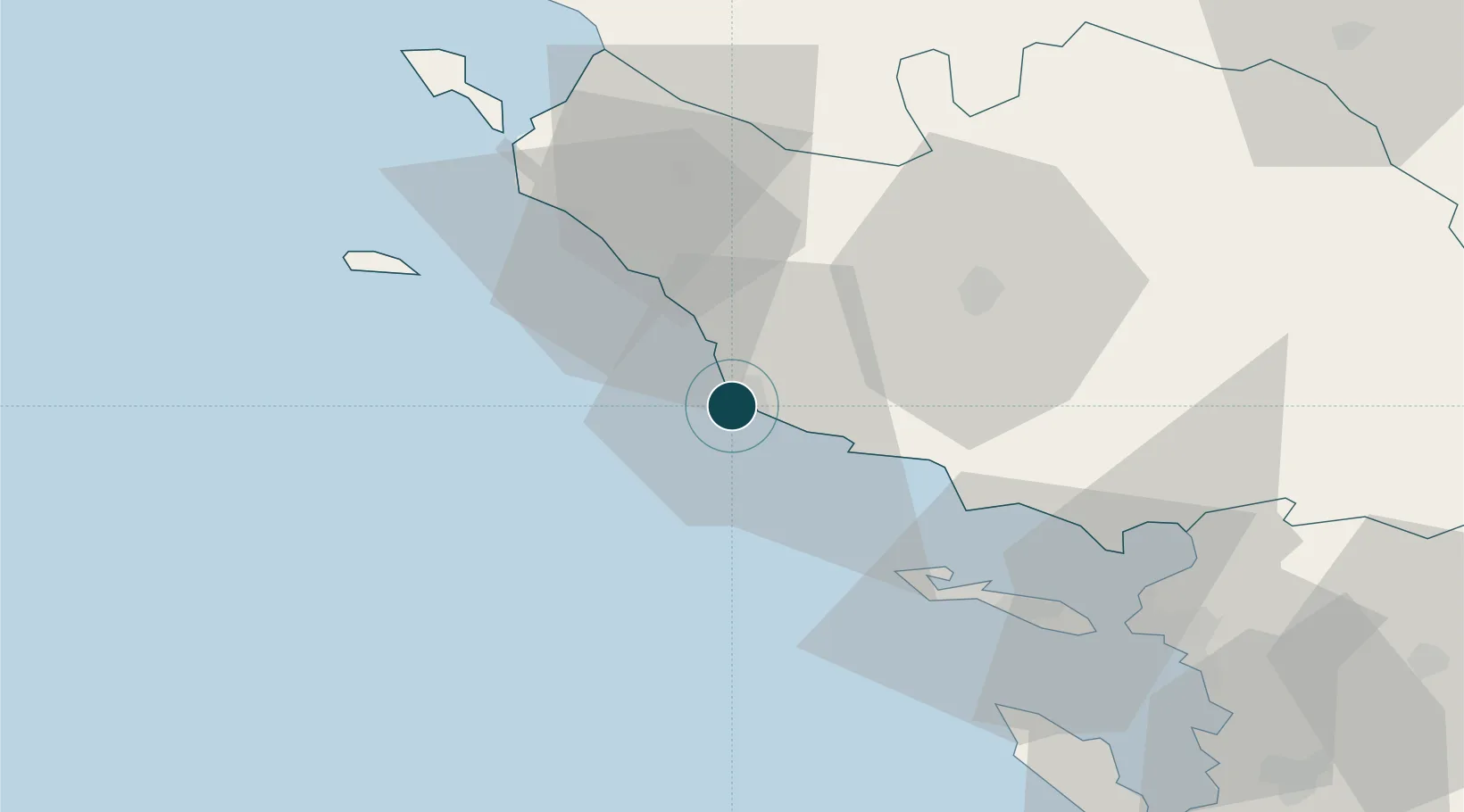
Location
Nearby Logistics Neighbours
Ports
- 1La Pallice58 km
- 2La Rochelle63 km
- 3Nantes80 km
- 4Rochefort91 km
- 5Donges91 km
Cities
- 1L'Île-d'Olonne8 km
- 2Brem-sur-Mer11 km
- 3Talmont-Saint-Hilaire15 km
- 4Saint-Gilles-Croix-de-Vie23 km
- 5Saint-Hilaire-de-Riez26 km
Airports
Trade Zones
- 1ZFU La Rochelle59 km
- 2ZFU Nantes et Saint-Herblain81 km
- 3ZFU Saint-Nazaire94 km
- 4ZFU Angers142 km
- 5Port de Bordeaux202 km
DatabookThe Record of Consolidated Knowledge
France beyond logistics?