Transport Functions
Rail
Road
Hub Profile
Place type
Populated place
Region
Pays de la Loire
Time zone
Europe/Paris
Elevation
66 m
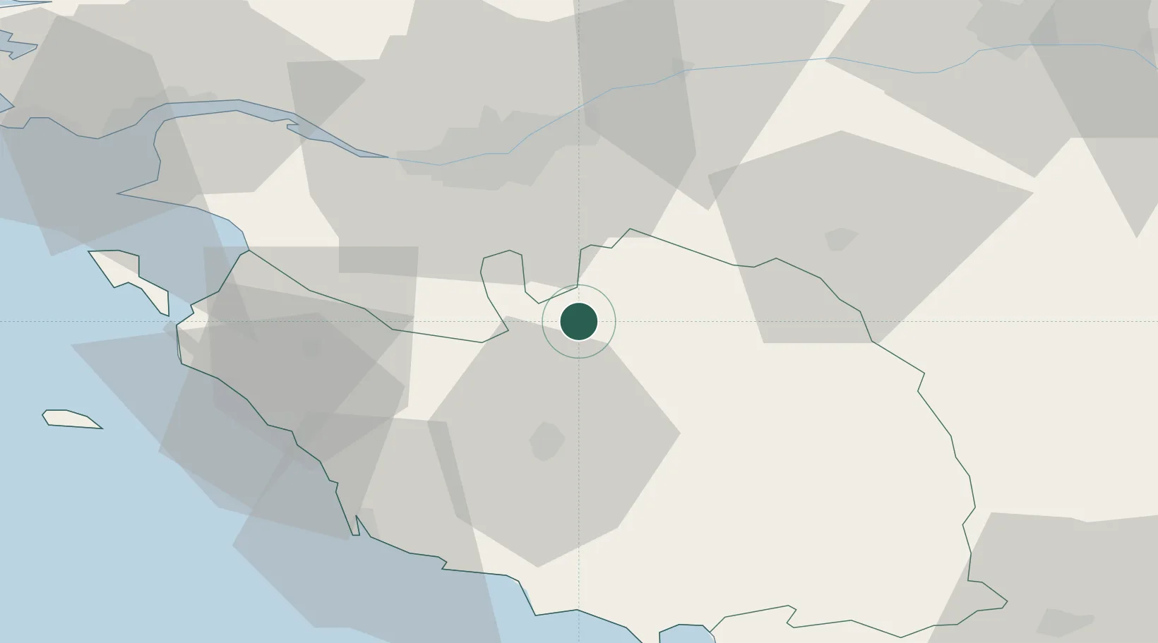
Location
Nearby Logistics Neighbours
Cities
- 1Saint-Sulpice-le-Verdon4 km
- 2La Rabatelière10 km
- 3Rocheservière12 km
- 4Bazoges-en-Paillers18 km
- 5La Limouzinière20 km
Ports
- 1Nantes37 km
- 2Les Sables D' Olonne55 km
- 3Donges69 km
- 4Montoir73 km
- 5St Nazaire76 km
Airports
Trade Zones
- 1ZFU Nantes et Saint-Herblain44 km
- 2ZFU Saint-Nazaire81 km
- 3ZFU La Rochelle83 km
- 4ZFU Angers87 km
- 5ZFU Le Mans165 km
DatabookThe Record of Consolidated Knowledge
France beyond logistics?