UN/LOCODE hub · France
FRPG2

Saint-Philbert-de-Grand-Lieu
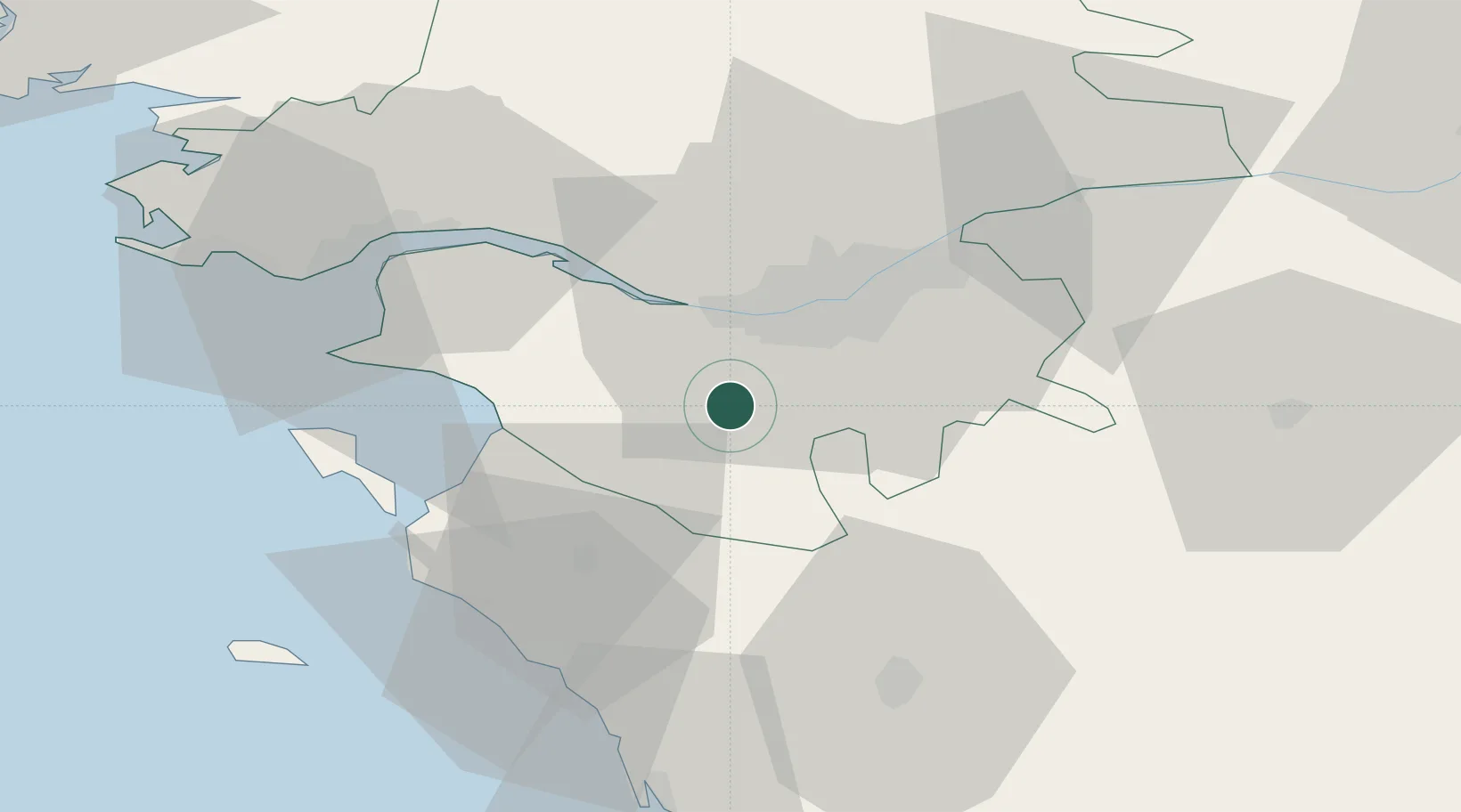
47.0667°, -1.6667°
6,757
Population
2
Transport functions

Transport Functions

Road
Multimodal
UN/LOCODE

Hub Profile

Place type
Populated place
GeoNames
Region
Pays de la Loire
GeoNames
Population
6,757
GeoNames
Time zone
Europe/Paris
GeoNames
Elevation
7 m
GeoNames

Location

Location of FRPG2
Natural Earth 10m (public domain) · Pays de la Loire · FRPG2 · 47.07, -1.67GoogleOSMYandex

Nearby Logistics Neighbours

Cities
  1. 1Saint-Léger-les-Vignes9 km
  2. 2Bouaye10 km
  3. 3La Limouzinière11 km
  4. 4Bouguenais14 km
  5. 5Montbert14 km
Nearest neighbours — logibook spatial index (haversine) over the source coordinates
Ports
  1. 1Nantes17 km
  2. 2Donges40 km
  3. 3Montoir44 km
  4. 4St Nazaire47 km
  5. 5Les Sables D' Olonne64 km
Nearest neighbours — logibook spatial index (haversine) over the source coordinates
Airports
  1. 1Nantes Atlantique Airport11 km
  2. 2Beauvoir Fromentine Airfield38 km
  3. 3Saint-Nazaire-Montoir Airport46 km
  4. 4La Roche-sur-Yon Les Ajoncs Airport46 km
  5. 5La Baule-Escoublac Airport57 km
Nearest neighbours — logibook spatial index (haversine) over the source coordinates
Trade Zones
  1. 1ZFU Nantes et Saint-Herblain18 km
  2. 2ZFU Saint-Nazaire52 km
  3. 3ZFU Angers93 km
  4. 4ZFU La Rochelle106 km
  5. 5ZFU Le Mans169 km
Nearest neighbours — logibook spatial index (haversine) over the source coordinates
DatabookThe Record of Consolidated Knowledge
France beyond logistics?
Browse databook

All Sources

LocationsUN/LOCODE
UN/LOCODE — free
LocationsGeoNames
CC BY 4.0
Portsthe NGA World Port Index
Public domain (US gov)
AirportsOurAirports
Public domain
Trade Zonesthe World Bank SEZ database
CC BY 4.0
Trade ZonesOpen Zone Map
CC BY
← France locations