Transport Functions
Multimodal
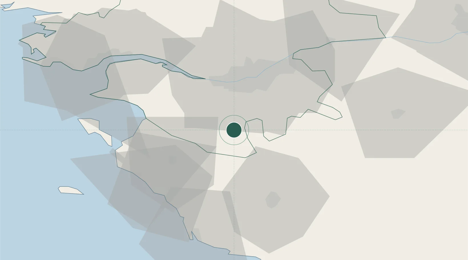
Hub Profile
Place type
Populated place
Region
Pays de la Loire
Population
1,518
Time zone
Europe/Paris
Elevation
25 m
Location
Nearby Logistics Neighbours
Cities
- 1Rocheservière8 km
- 2Saint-Philbert-de-Grand-Lieu11 km
- 3Montbert13 km
- 4Saint-Sulpice-le-Verdon17 km
- 5Saint-Léger-les-Vignes20 km
Ports
- 1Nantes24 km
- 2Donges50 km
- 3Montoir54 km
- 4Les Sables D' Olonne56 km
- 5St Nazaire56 km
Airports
Trade Zones
- 1ZFU Nantes et Saint-Herblain28 km
- 2ZFU Saint-Nazaire61 km
- 3ZFU Angers94 km
- 4ZFU La Rochelle96 km
- 5ZFU Le Mans171 km
DatabookThe Record of Consolidated Knowledge
France beyond logistics?